Smoke or haze in the air? Interactive maps track NC wildfires in busy fire season
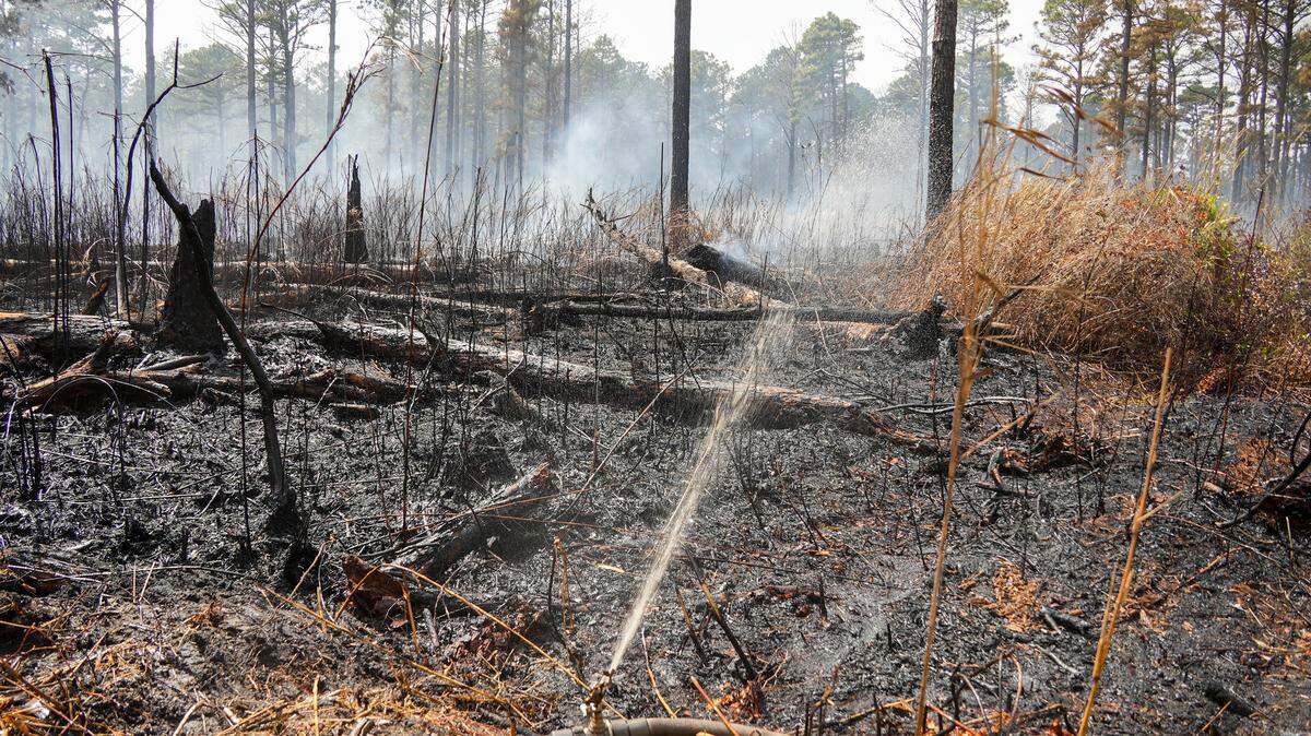
Do you smell smoke?
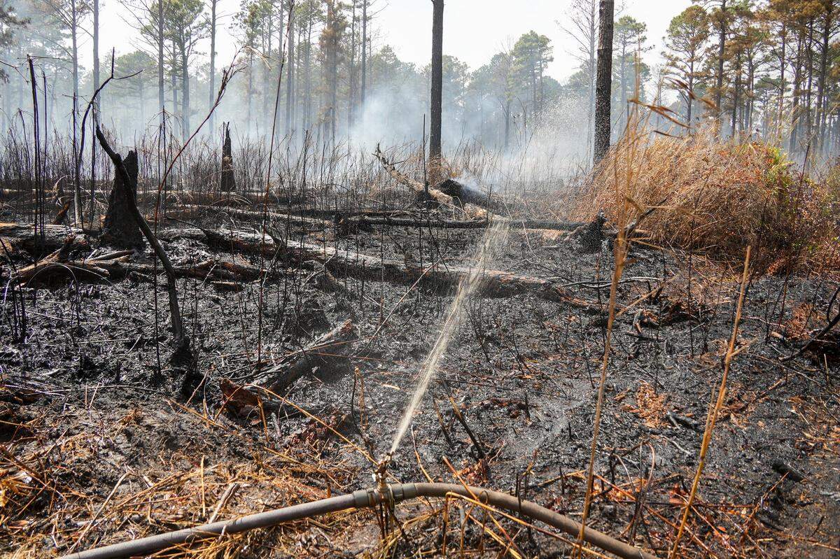
So far this year, more than 4,000 wildfires have burned more than 24,000 acres of woodlands in North Carolina, not counting those that have been just on federal property, such as the Black Swamp Fire, in Jones County, that has burned 950 acres in the Croatan National Forest as of Tuesday, May 6.
If you get a whiff of smoke or see ash or haze in the air, you can check to see if a wildfire has been reported near you using these interactive maps maintained by the N.C. Forest Service and the U.S. Forest Service. Google Maps’ “layers” function also can add the locations of wildfires that have been reported by forestry officials.
Here are the links:
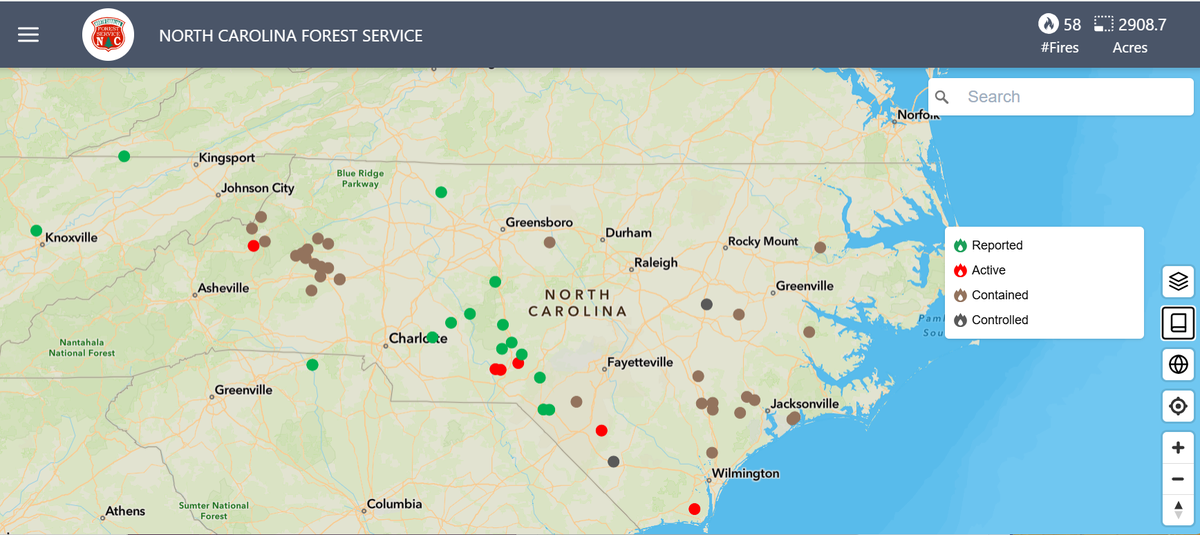
▪ The N.C. Wildfire Public Viewer is the state Forest Service’s wildfire map. It marks wildfires across the state with colored dots indicating whether a fire has been “reported” or is “active,” “contained” or “controlled.” Click on a dot to get additional details about each fire.
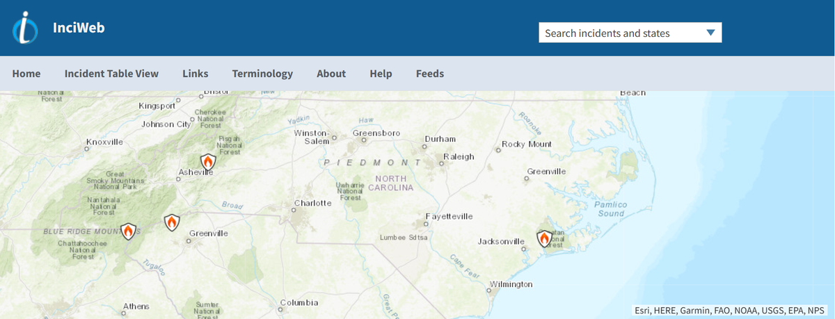
▪ Fires within federal lands are mapped on inciweb.gov. The map shows incidents across the country; zoom in to a particular point on the map to see details on the size of the wildfire and how much of it has been contained.