Storms pass through Triangle leaving fallen trees and power outages
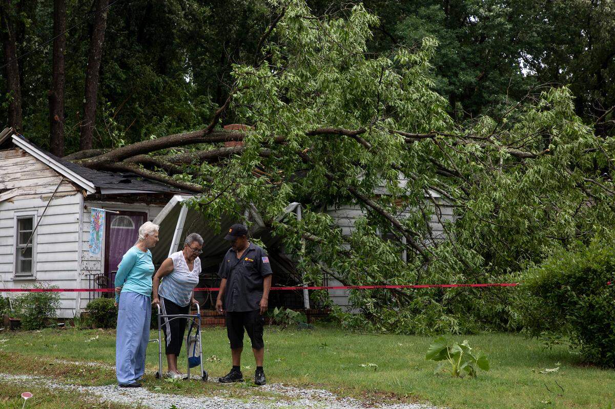
Thunderstorms swept through the Triangle Monday afternoon, leaving power outages and fallen trees in its wake.
Flash flooding is possible for much of the Triangle and surrounding towns through the evening, according to the National Weather Service.
Here are updates of the weather and its aftermath.
Update 6:30 p.m.
A National Weather Service advisory expired without renewal, but a marginal risk of severe thunderstorms will continue through the night.
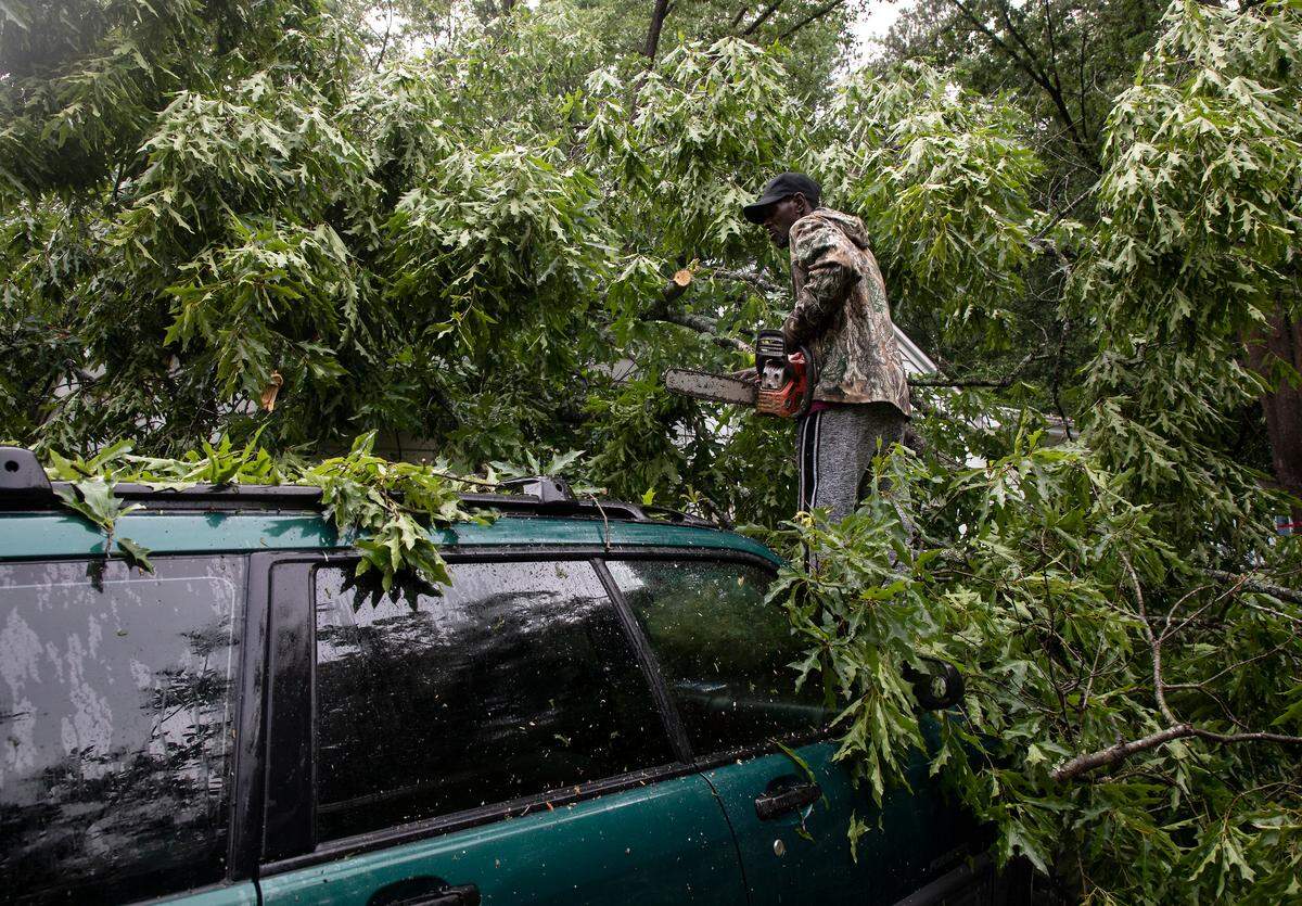
“Damaging wind gusts are the primary hazard,” the NWS reported. “An isolated tornado will be possible along the track of low pressure later today into the evening.”
The possibility of isolated flash flooding will persist. Drivers should be cautious when traversing rainy roads. Never try to navigate flooded areas, the NWS recommends. It’s always best to turn around.
Update 5:54 p.m.
About 20,000 Duke Energy customers are without power across the Greater Triangle area, according to the company. Almost 8,000 are in Durham. Raleigh and Cary have several hundred outages.
Update 5:30 p.m.
Lightning struck a tree on Bon Aire Avenue in Durham, “exploding” into a nearby house, according to ABC 11, The News & Observer’s news gathering partner. It’s unclear if any bystanders were injured.
Update 5:20 p.m.
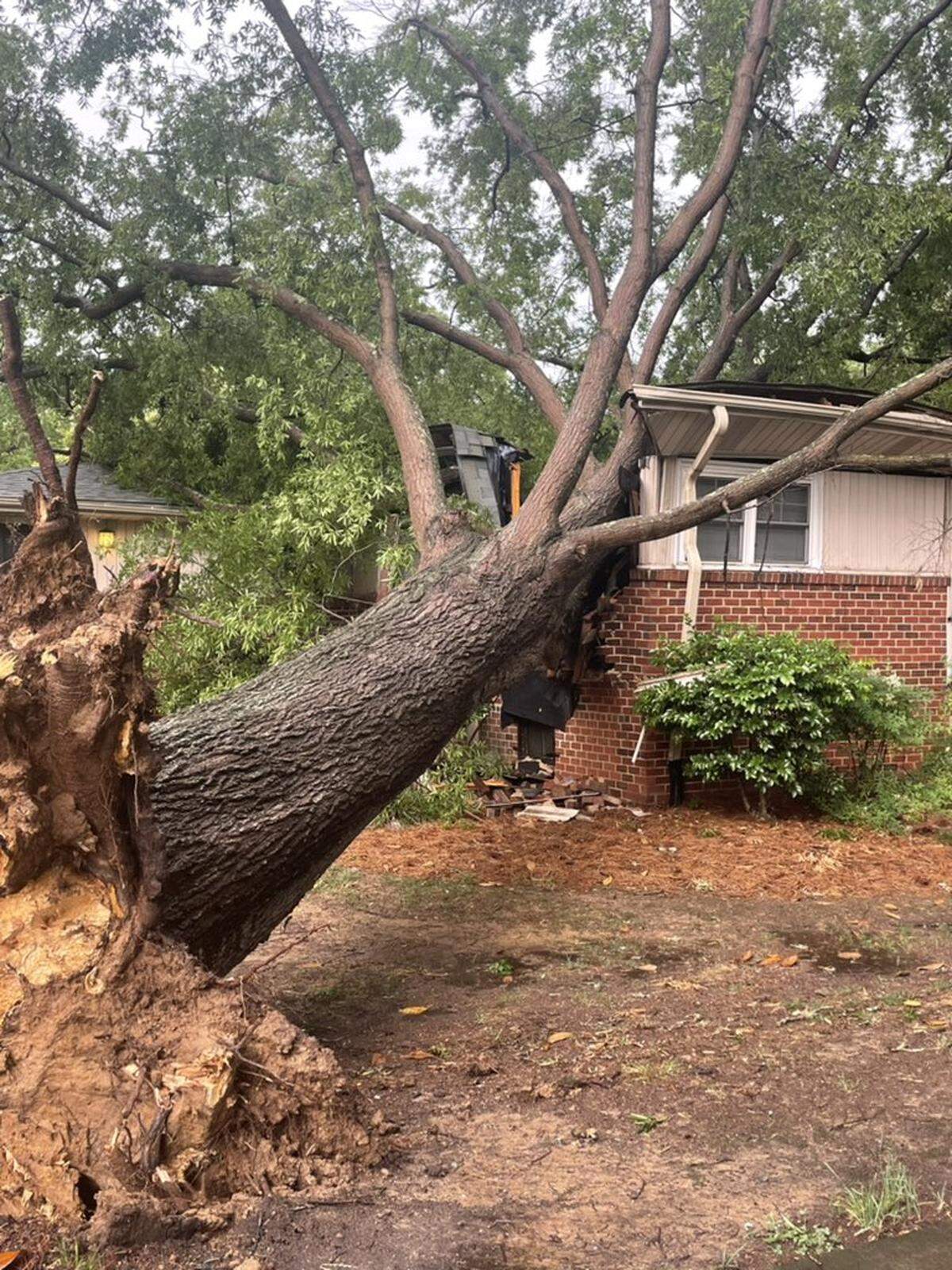
The storm uprooted a large, Chapel Hill tree, which collapsed into a residence at 18 Hamilton Road. No injuries have been reported, according the Chapel Hill Fire Department.
Update: 5:11 p.m.
The heaviest rain has ended, but dangerous conditions will persist.
“Flash flooding is ongoing or expected to begin shortly,” the NWS said.
Another half inch to 1 inch of rain is still possible across the Eastern Piedmont region. Standing water will continue to pool, threatening roadways and areas close to creeks and streams.
Motorists must be on guard to avoid flooded streets.
“Turn around,” the NWS said, “don’t drown when encountering flooded roads. Most flood deaths occur in vehicles.”
Update: 4:40 p.m.
The NWS has extended its severe weather warning across much of North Carolina’s Piedmont region.
Flash floods are possible across the following areas: Eastern Chatham County, Southeastern Durham County, Northeastern Harnett County, Northwestern Johnston County, Northeastern Lee County and all of Wake County.
The advisory will remain in effect until at least 6:30 p.m.
At about 4 p.m., a “severe thunderstorm” was identified near Cary, the NWS said. Its trajectory was northeast at 40 mph.
Wind gusts of up to 60 mph have been reported. At such speeds, flying projectiles can inflict acute damage on structures and people. Radar reports suggest the possibility of hail.
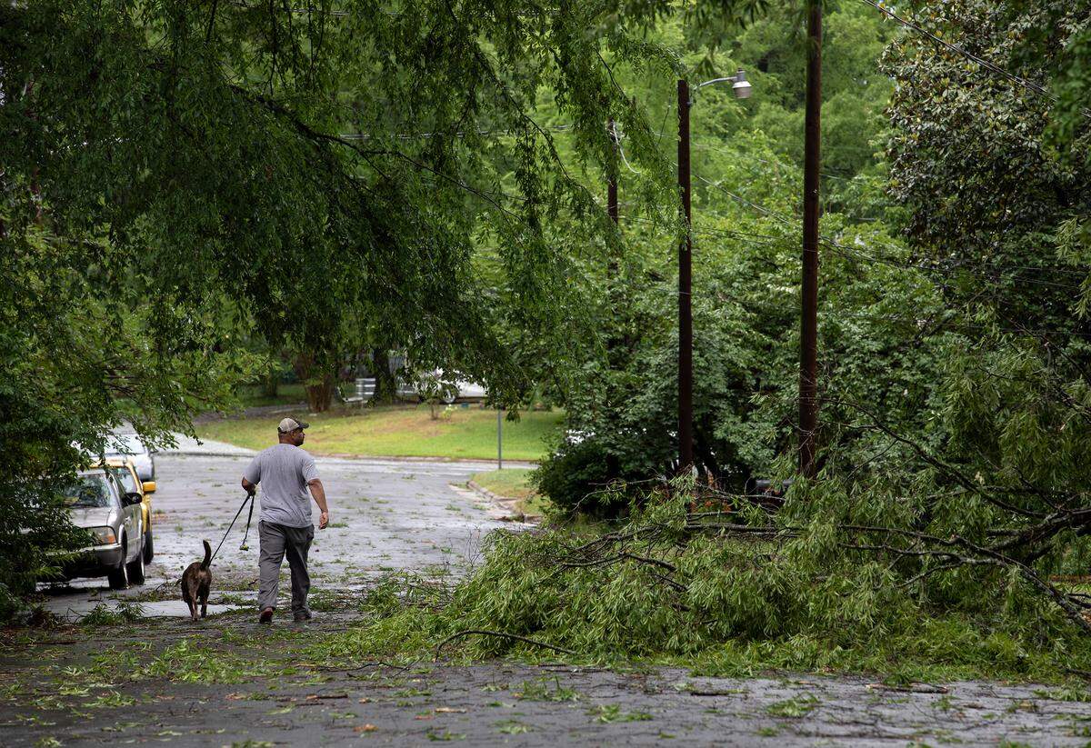
By 4:23, NWS had reported between 1 and 2 inches of rain had fallen across the Triangle. Another 1 to 2 inches is expected before the weather system clears.
Such heavy rainfall in a narrow spans of time can produce “life threatening flash flooding,” NWS warns. Creeks and streams, urban areas, highways, streets and underpasses are especially susceptible.
The following locations should expect flash flooding, NWS said: Raleigh, Durham, Cary, Smithfield, Wake Forest, Garner, Fuquay-Varina, Clayton, Zebulon, Angier, RDU International, Apex, Holly Springs, Morrisville, Knightdale, Wendell, Rolesville, Lake Wheeler, Lake Benson and William B. Umstead State Park.
This story will be updated.
This story was originally published May 23, 2022 at 4:39 PM.