Snow, sleet or freezing rain expected tonight. Forecast for Raleigh & Durham
AI-generated summary reviewed by our newsroom.
- NWS forecasts rain Wednesday, then a transition to sleet, freezing rain and snow.
- Snow accumulation likely under a half-inch in Triangle; higher north of I‑85.
- Winter weather advisory 6 p.m. Wednesday to 10 a.m. Thursday.
Central North Carolina should see rain before a mix of freezing rain or sleet and snow sweeps across the area.
Light rain is expected Wednesday, Feb. 4, according to the National Weather Service.
Areas west of US-1 should expect a quarter-inch to a half-inch of rain, and areas east of US-1 should expect slightly more rain, around a half-inch to 1 inch.
The rain will transition to a mix of freezing rain or sleet and snow across the north of central North Carolina starting Wednesday evening. The transition will continue southward through Wednesday night and into Thursday morning, Feb. 5.
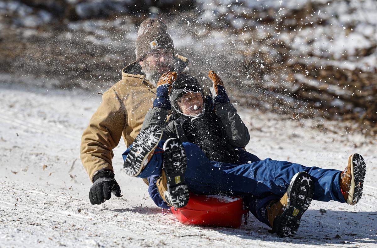
Where will it snow?
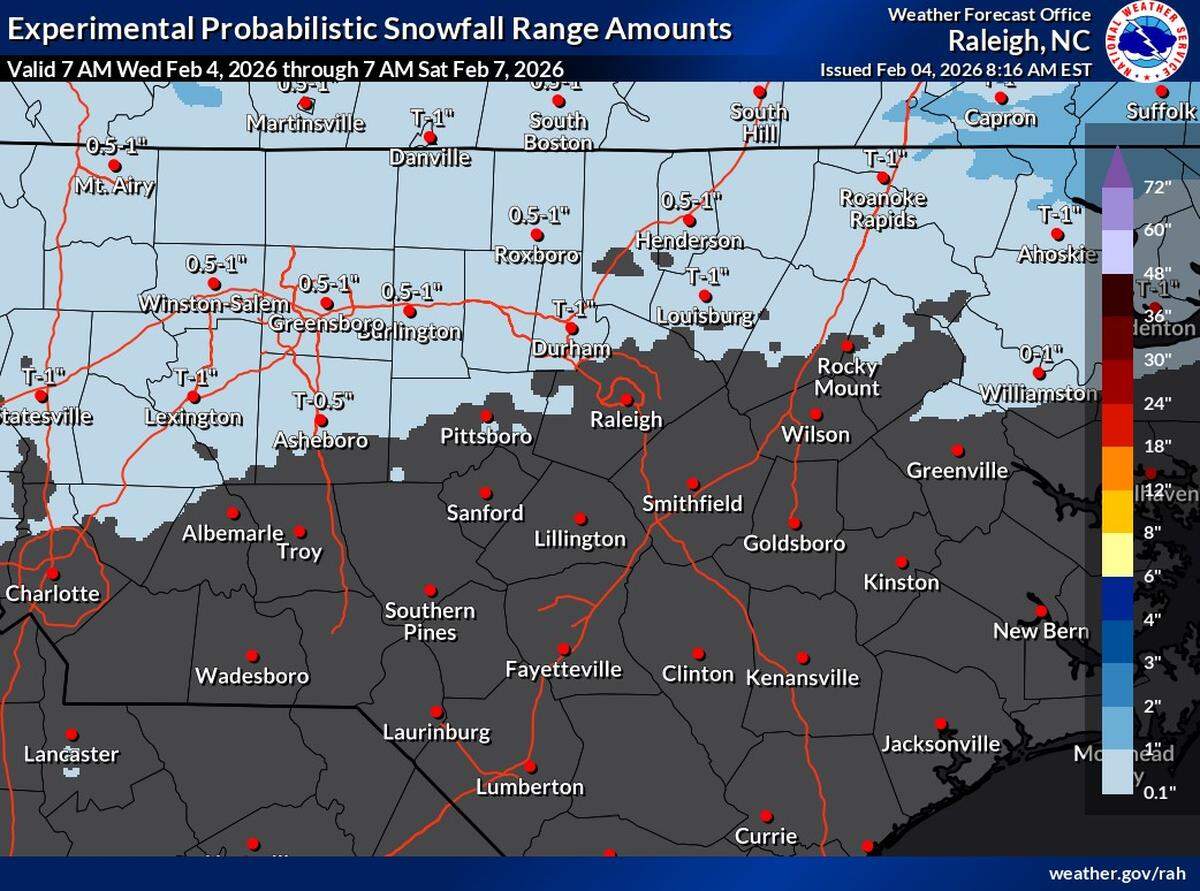
If snow accumulates in the Triangle, it should be less than a half-inch. Best chances for accumulating snow are areas north of Interstate 85 and near the Virginia border. Little or no snow accumulation is expected south of the US-64 corridor.
Minor ice accumulations are possible across the region — in general, less than 0.1 inches. The highest amounts would be across southern and eastern portions of central North Carolina.
Precipitation should clear out of the area Thursday morning.
Impacts from this wintry precipitation
Travel conditions may be hazardous Thursday morning, especially where snow or freezing rain accumulates.
Overnight temperatures in the Triangle are expected to be in the 20s, which could lead to black ice.
A winter weather advisory is in effect from 6 p.m. Wednesday to 10 a.m. Thursday.