Record heat expected in the Triangle this week. When will cold weather return?
AI-generated summary reviewed by our newsroom.
- Triangle sees temperatures 10–15°F above normal this week with record potential.
- Southwest winds 10–15 mph, gusts to 25–35 mph; secure loose outdoor items.
- Rain chances and cooling expected weekend into next week; lows may return to 20s–30s.
After weeks of winter storms, snow and ice, temperatures are inching higher for a brief winter weather reprieve.
The National Weather Service and meteorologists at Triangle television stations are forecasting warmer temperatures about 10 or 15 degrees higher than normal through the week, with a potential record high of 76 degrees on Friday, Feb. 20.
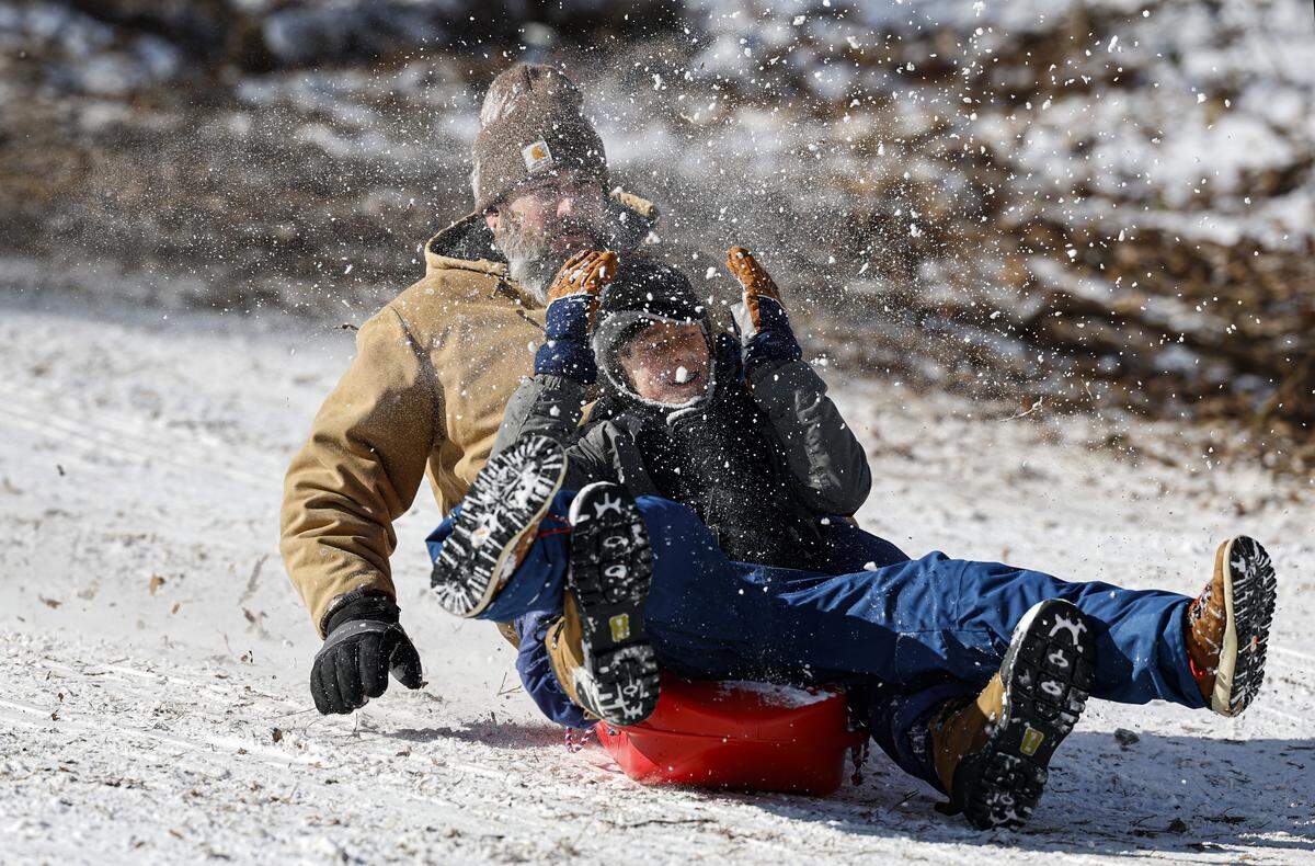
February started with snow falling in most parts of North Carolina, including 2 to 3 inches in Wake County, and wind chills as low as 5 degrees below zero. Some parts of the state, including on the coast and Piedmont, saw over a foot of snow during back-to-back winter storms.
“After that very cold period in January and the early part of this month with multiple winter storms, we’re bouncing back,” Michael Strickler, senior meteorologist for the National Weather Service in Raleigh, told The News & Observer Wednesday, Feb. 18 morning.
On Wednesday, the National Weather Service is forecasting temperatures to reach the upper 60s in the Triangle then “a quite mild night.”
“The average high temperature for the state is mid-50s,” Strickler said. “And, tonight, our low temperatures are going to be what the average high temperature is for this time of year.”
Wind and ‘soaking rain’ possible
It’s expected to also be windy throughout the day with southwest winds of 10 to 15 mph, with gusts up to 25 to 35 mph, he said. People should expect small tree branches to fall and should secure loose outdoor items like small patio furniture.
On Thursday, Feb. 19, temperatures should reach around 70 degrees, he said, with Friday expected to be the warmest day of the week and potentially hitting a record high. There could also be some rain showers Thursday and into the evening for folks who live in the northern parts of the Triangle.
Temperatures are expected to dip slightly into the 50s and 60s this weekend, with a chance of rain.
“It does look like we will have a little more widespread and soaking rain potential this weekend,” Strickler said Wednesday morning. “Unfortunately, right now, it looks like maybe two bouts of that rain, maybe one earlier in the weekend, early Saturday, and then another toward the end of the weekend, like late Sunday into the early part of next week.”
Rain totals should be less than an inch, The N&O’s reporting partner ABC11 forecasts.
Will winter weather return?
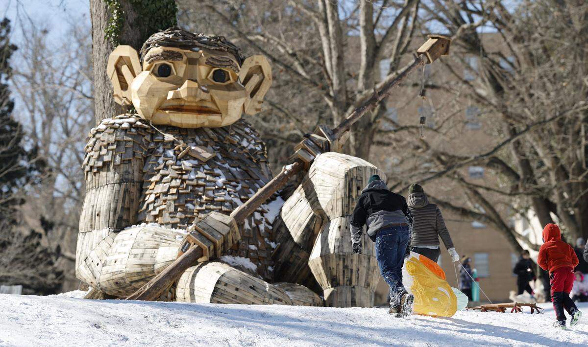
Cold weather fans won’t have to suffer the warmer temperatures for long.
“For those wondering if winter is over, I would say wait until early next week, and you will find it’s not over” Strickler said. “So does look like we will cool back down with low temperatures in the 20s and 30s, and highs back in the 40s for the early to mid-part of next week.”
This story was originally published February 18, 2026 at 12:07 PM.