Steady rain and isolated flooding possible in parts of Triangle and central NC
AI-generated summary reviewed by our newsroom.
- A steady rain on Monday, July 13 will bring cooler daytime highs in the 70s to around 80.
- NWS warned of isolated to scattered showers and storms with localized flash flooding.
- Up to 2 to 5 inches fell in parts of Harnett and Johnston, prompting flood advisories.
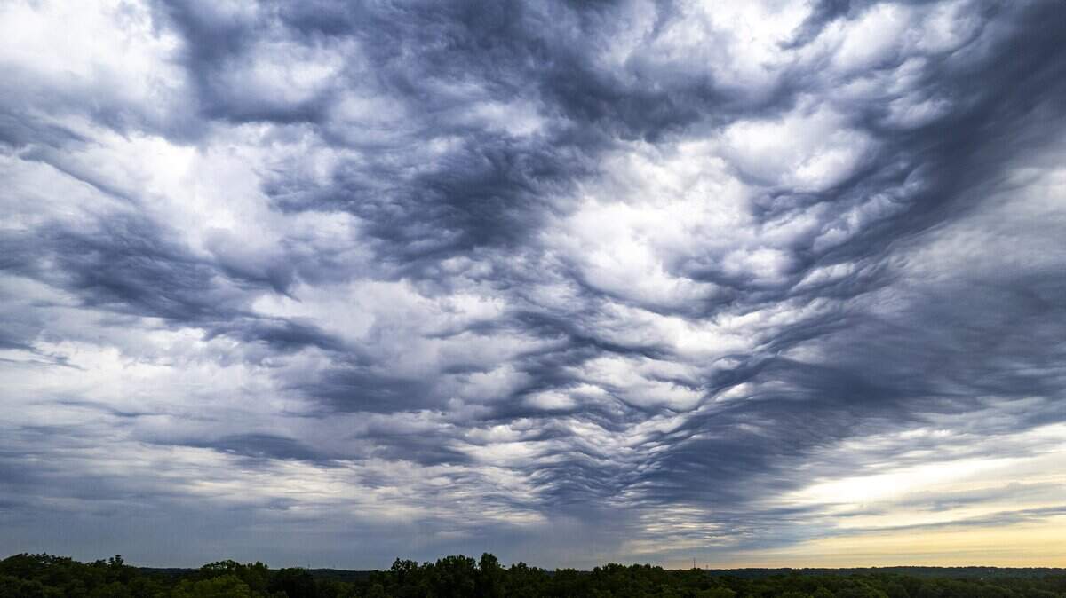
A steady beat of nearly all-day rain Monday, July 13, will bring cooler temperatures and some possible isolated flooding in central North Carolina.
“Expect isolated to scattered showers and storms with localized flash flooding, especially south and west (of the Triangle),” according to the National Weather Service. “Persistent clouds will keep daytime temperatures unseasonably cool in the 70s to around 80.”
Up to 2-5 inches of rain already fell over the last 24 hours in parts of Harnett and Johnston counties, prompting some flood advisories Sunday night and Monday morning, said Gail Hartfield, senior meteorologist for the National Weather Service’s Raleigh office.
“Even if it’s just a steady, light-to-moderate rain you can have considerable ponding of the water on roads in the area where the water doesn’t drain off,” she said. “
The high temperatures will return later this week; it’s forecasted to reach 100 degrees later on Thursday and Friday in Raleigh.
Thunderstorms are forecasted to return this weekend to the area.