How much snow did we get? Totals for Raleigh, OBX & across NC as freezing cold temps continue
READ MORE
What to know about cold weather & winter storms
Here’s everything to know about super cold weather and winter storms headed our way: forecasts, power outages, closings, snow cameras, winter prep, safety and more.
Expand All
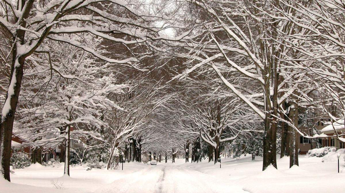
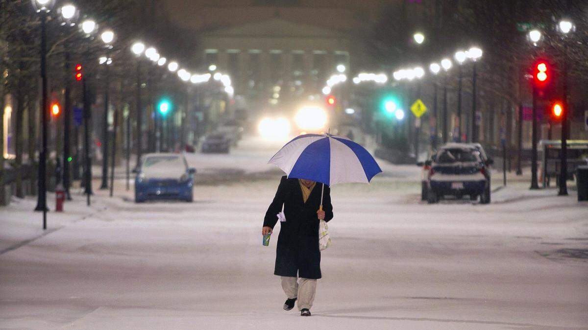
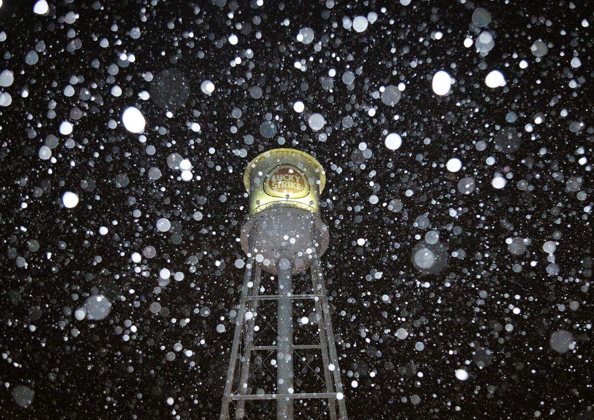
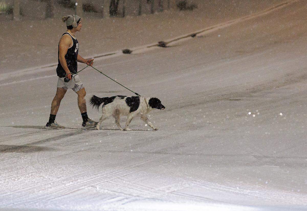
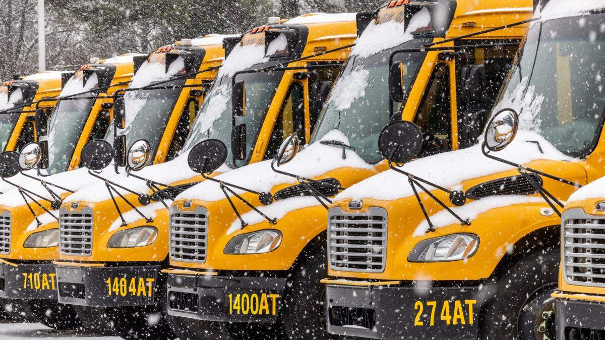
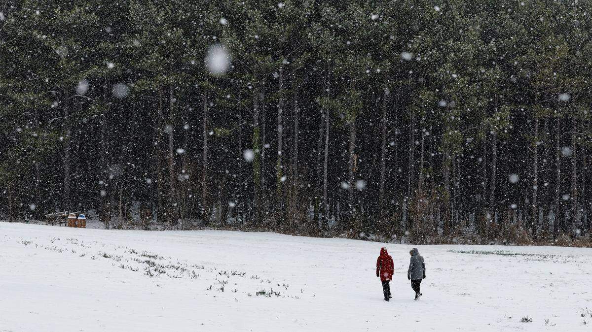
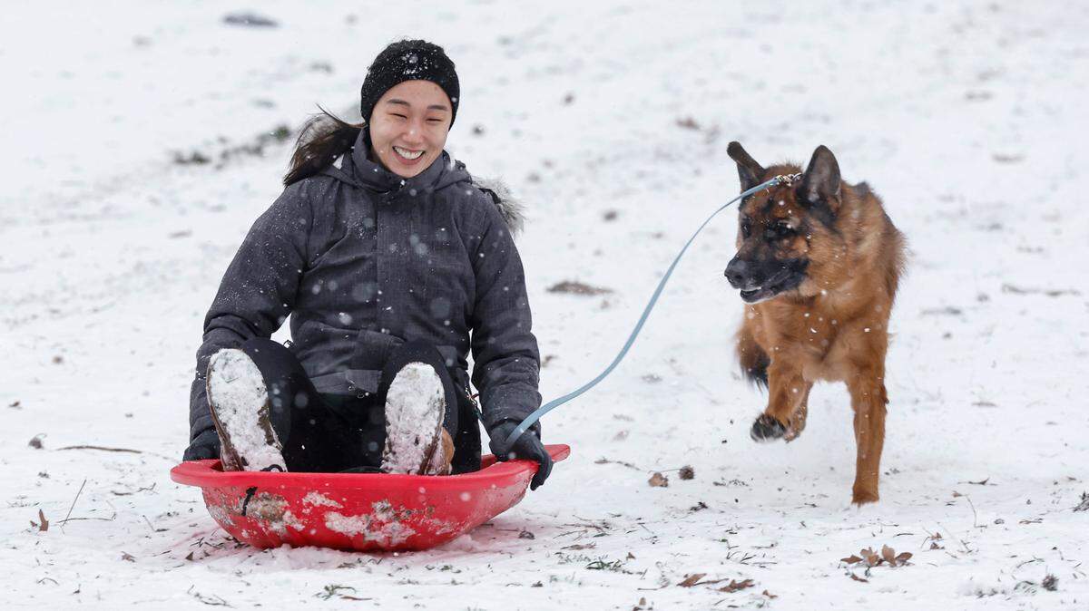
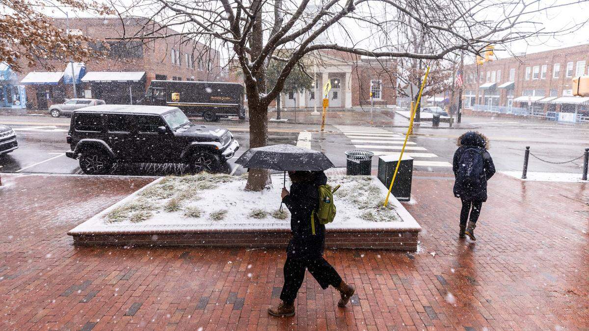
A mercurial low-pressure system that had forecasters guessing for a week finally arrived Tuesday night, Jan. 21, delivering that near-perfect Southern storm: no ice, just picturesque fluffy flakes.
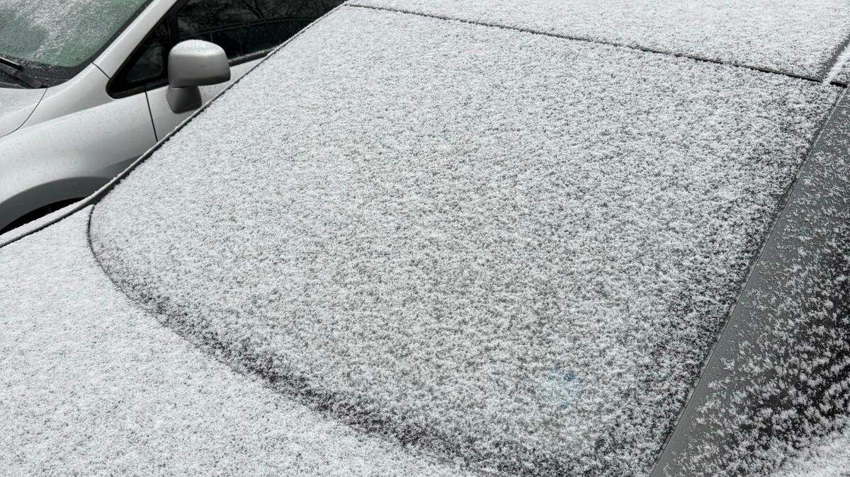
By 10 p.m., the National Weather Service reported that a dusting to more than an inch of snow had fallen over much of central and Eastern North Carolina, leaving out only the northernmost section toward the Virginia line.
The storm tracked from the Gulf of Mexico, across the Mississippi Valley into South Carolina and North Carolina before heading out to sea. On its way, it dropped snow from Charlotte to Greensboro to Raleigh to Nags Head.
How much snow fell in Raleigh and the Triangle?
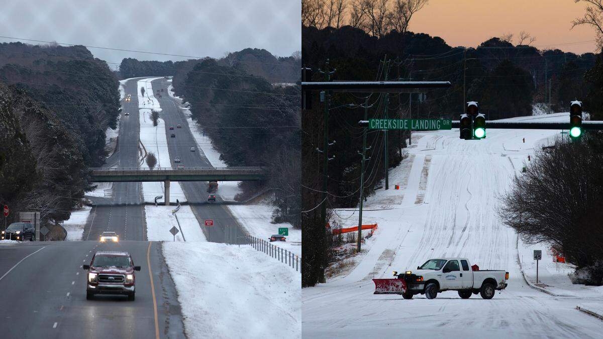
Wednesday morning, Jan. 22, the National Weather Service’s map of snow accumulation reports from its spotter network showed about an inch in Raleigh, Durham and Chapel Hill, 1.3 inches in Cary and 2 inches in Wendell that a weather watcher “measured on a snowboard.”

Where was the most accumulation?
As forecasters expected, the coast saw the heaviest snowfall.
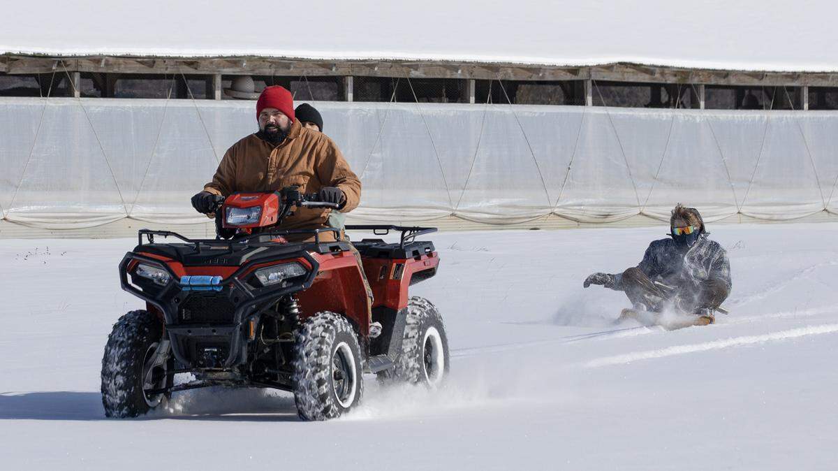
The highest accumulation on the Weather Service’s accumulation map was 9 inches at the Wright Brothers Memorial in Kill Devil Hills on the Outer Banks.
A spotter in Grandy, in Currituck County, reported 7.5 inches and one in neighboring Mamie reported 6.5 inches.
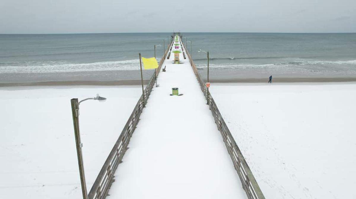
Hefty totals also were reported along the central coast, with 6 inches at Indian Beach on Bogue Banks and 5 inches at Morehead City.
Along the southern coastal area, Leland reported 3.4 inches. and a spotter saw 4.5 inches at Ogden.
How are the roads?
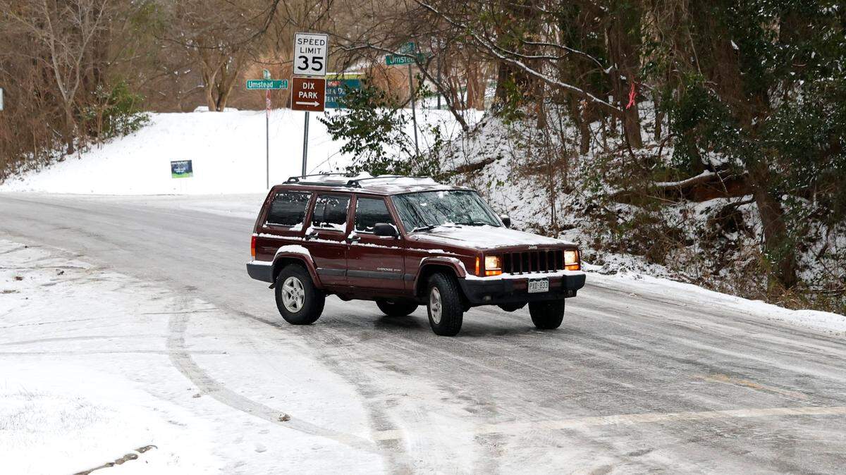
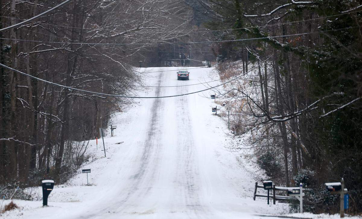
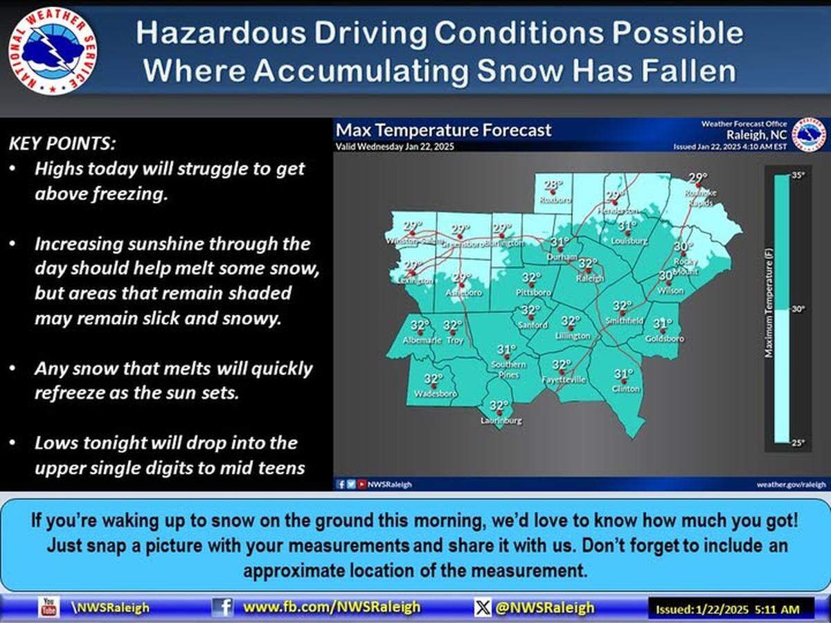
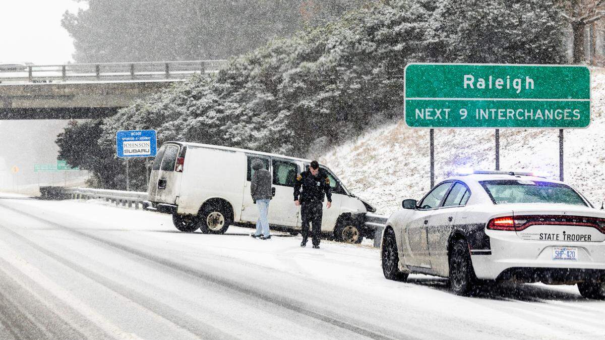
In places where there was just a dusting of snow, the brine solution that N.C. Department of Transportation workers and local city crews spread ahead of the storm was enough to keep the roads clear.
Elsewhere, snow plows were out early Wednesday morning scraping roads and trucks were spreading rock salt. Main roads always get treated first.
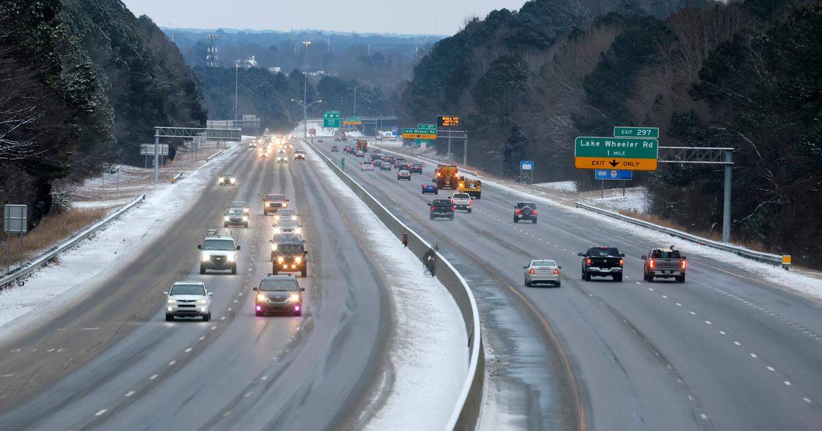
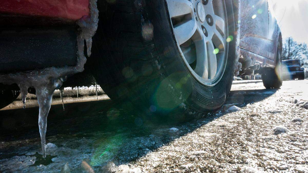
As the sun comes out across the region, the Weather Service said, it will help with melting even though temperatures remain low. But transportation officials remind drivers that anything that melts Wednesday but doesn’t dry likely will refreeze overnight. Drive slowly, watch for icy patches, and don’t make any sudden moves.
To check conditions in specific places, go to drivenc.gov, which the DOT updates regularly.
Along the coast, DOT has suspended ferry services as of Wednesday morning because of weather conditions.
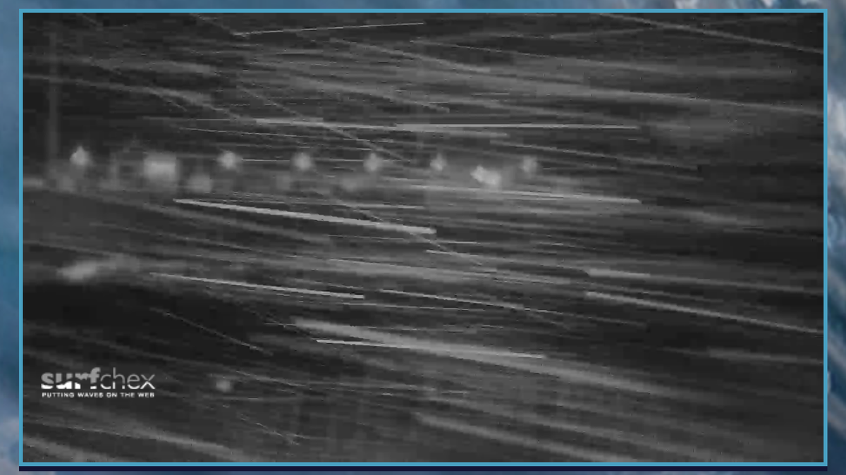
N.C. 12 along the Outer Banks was covered in snow by the storm, prompting the department to tell people on its Facebook page early Wednesday, “The snow is just now winding down across the Outer Banks, but it is still very windy and very cold, and roads across the area can best be described as treacherous. Our crews are out plowing and salting primary routes, but the best advice we have for motorists today is STAY HOME.”
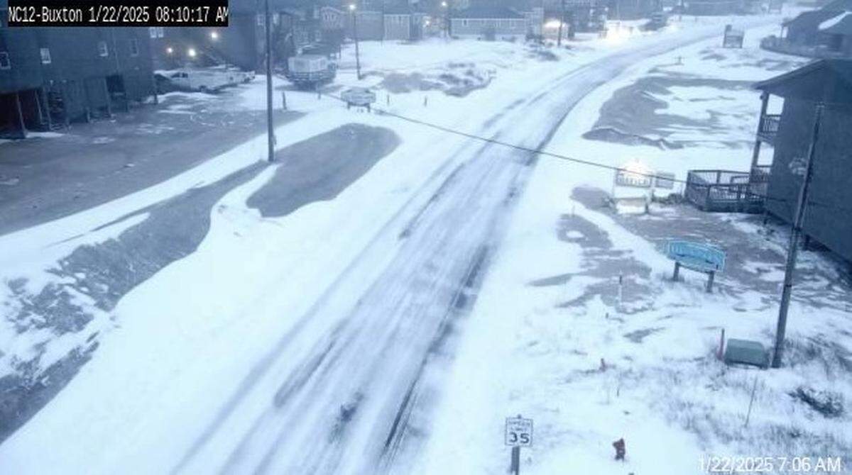
Some drivers ventured out anyway, finding conditions worse than expected. Late in the morning, the Cape Hatteras National Seashore posted on Facebook that it had temporarily closed all off-road vehicle ramps heading to the beach.
“The combination of snow and sand has resulted in numerous vehicles getting stuck on Hatteras and Ocracoke Island beaches,” the park service said. “The extraction of vehicles has been challenging.”
Is there more winter weather coming on Thursday?
As of Wednesday morning, forecasters said they still expect a low-pressure system to develop Thursday off the coast but said any moisture from it is likely to stay offshore.
When will it warm up in North Carolina?
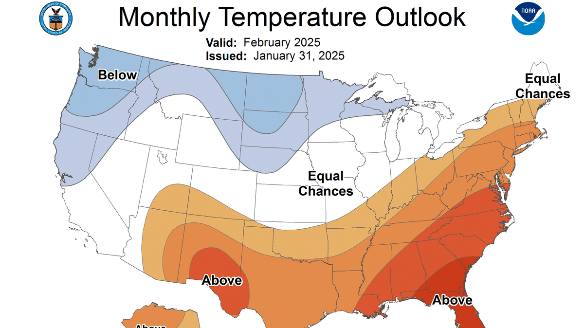
Temperatures will remain below normal through Thursday, the Weather Service said, but will gradually moderate to near-normal or slightly below normal from Friday to Sunday.
The seven-day forecast shows a high in Raleigh on Friday of around 42 degrees, 45 degrees on Saturday and 52 degrees on Sunday. The nights will still be cold, with lows Friday and Saturday nights in the 20s, and Sunday night around 33 degrees.
This story was originally published January 22, 2025 at 9:00 AM.


.JPG)