How much more will it snow in Raleigh area today? Here’s when winter storm exits NC
READ MORE
What to know about cold weather & winter storms
Here’s everything to know about super cold weather and winter storms headed our way: forecasts, power outages, closings, snow cameras, winter prep, safety and more.
Expand All
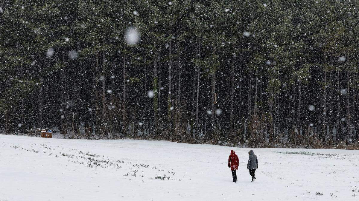
A winter storm that dropped snow and sleet over much of central and Eastern North Carolina on Wednesday, Feb. 19, will move out today, but not before another round of light snow moves through on Thursday afternoon, dropping from a dusting to an inch additional accumulation in some areas.
The National Weather Service extended its winter weather advisories for parts of the state until 4 p.m. Thursday, as the low-pressure system continues to make its way east. But forecasters warn of dangerously cold temperatures and wind chills throughout the day Thursday, overnight and into Friday.
The storm tracked just off the Gulf shore and across the South, bringing rain Wednesday morning from Florida to southeastern North Carolina and snow, ice and freezing rain to much of the northern half of the state.

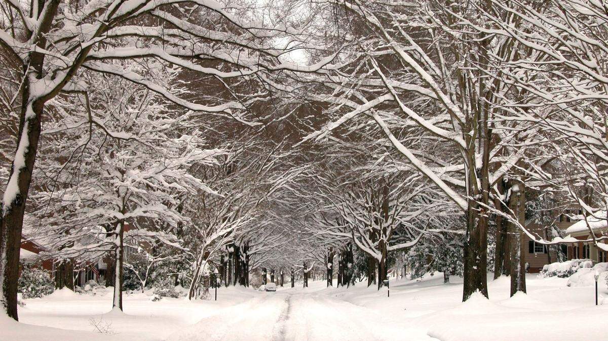
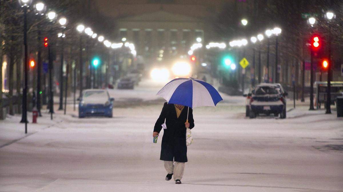
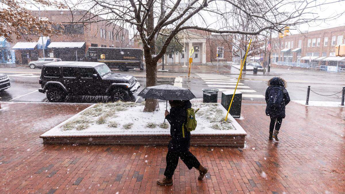
The first round of precipitation arrived in the Triangle and areas north to the Virginia border in the late morning, first as flurries, then fat flakes that created a rare February wonderland. Temperatures dropped quickly and winds picked up as the first bands of the storm arrived.
The heaviest precipitation came later in the day, lasting well into the night in eastern counties. In the northeast corner of the state, in places such as Elizabeth City and Currituck, residents braced for up to 8 inches of snow. Some reports showed more than 7 inches had fallen in Elizabeth City by 10 p.m. and it was still coming down.
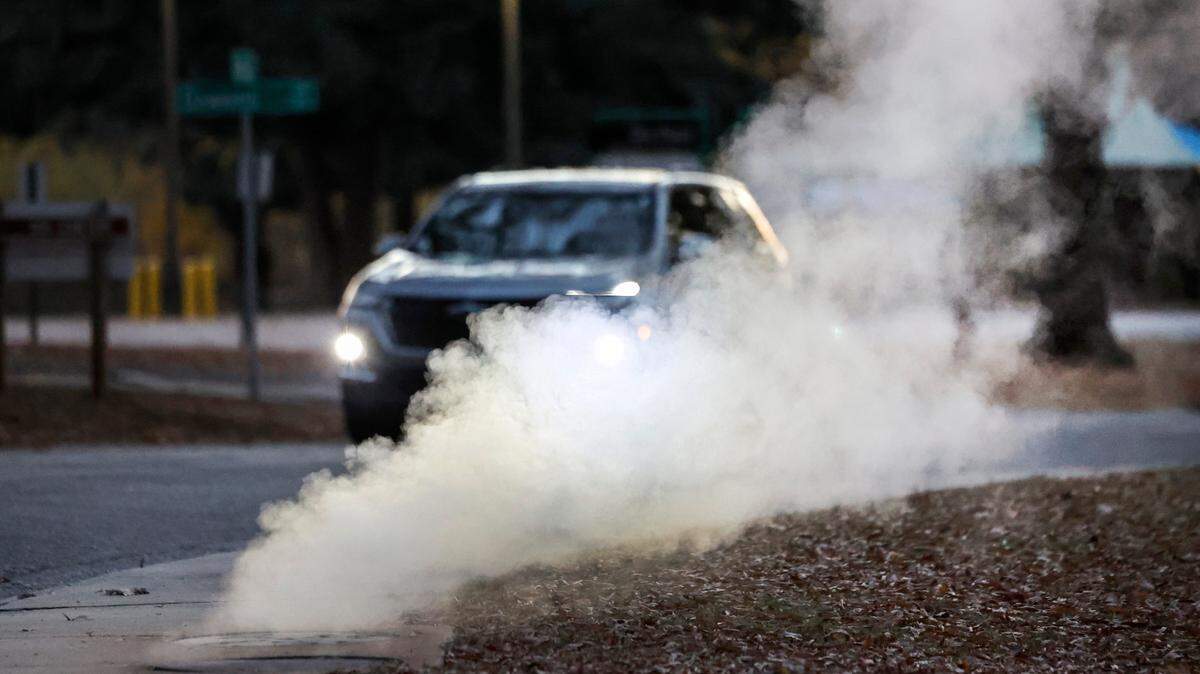
Schools and many businesses closed from the Piedmont to the coast ahead of the storm in anticipation of slick roads and frigid temperatures, and air travel was curtailed.

Who got snow, who got sleet?
Even after the snow and sleet started falling, forecasters said variable conditions made it hard to predict exactly how much of which type precipitation different areas would get.
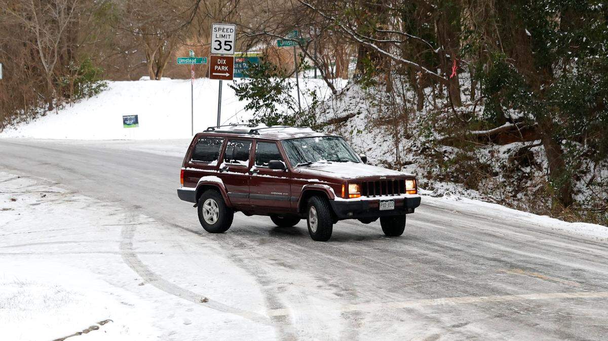
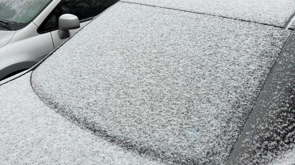
▪ Raleigh, Durham and Chapel Hill got mostly snow. The National Weather Service had reports of more than 2 inches in Raleigh, more than 3 inches in Durham and 3 inches in Chapel Hill.

▪ More than 2 inches of snow fell in Rocky Mount, and Kitty Hawk, on the Outer Banks, had a report of more than 4 inches “with some sleet mixed in.” One person reported 11 inches of snow in the Currituck County community of Moyock, a couple of miles from the Virginia border.
The Sandhills and northern Coastal Plain saw more sleet and freezing rain than snow. Spotters in Craven County and Pitt County reported more than an inch of ice.

The snow will leave, but the cold will hang around
In the Triangle, there’s a slight chance of snow showers today, the Weather Service says, before skies start to gradually clear. The high temperature will be near 35, but the wind, which may gust as high as 25 mph, will make it feel as cold as 15 degrees.

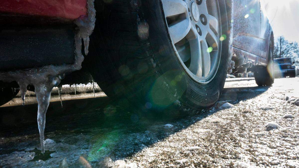
With clearing skies, some snow and ice may melt Thursday afternoon but everything will refreeze overnight, when temperatures drop to around 18 degrees. Wind gusts of up to 25 mph are still possible overnight.
Friday should be a little warmer, forecasters say, with a high around 41 degrees but still breezy.
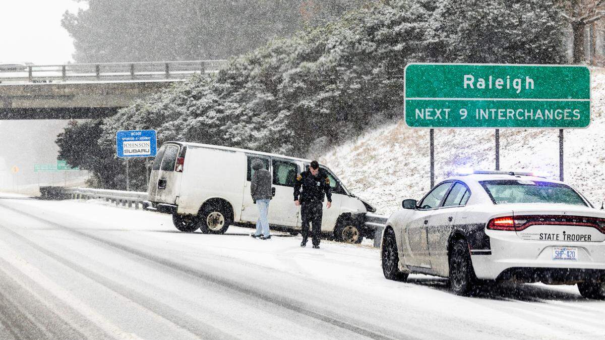
Hundreds of crashes, at least one deadly
The N.C. Highway Patrol said it investigated hundreds of accidents, including at least one with a fatality on Interstate 85 in Orange County where a series of wrecks resulted in an hours-long shutdown of the highway.
“Emergency responders are overwhelmed with crashes, cars in ditches, multi-vehicle pile-ups, and sideways cars and trucks blocking the flow of traffic,” the Orange County Sheriff’s Office posted on its Facebook page Wednesday alongside a photo of a wheels-up car. “Conditions deteriorated quickly and all roads (rural, secondary, and interstate) are treacherous.
“No matter how well your vehicle performs or how fantastic of a winter-weather driver you are,” the post read, “the obstacles are many and the risks are high. Please stay home if you can, drive slowly if you can’t, and bring warm clothing with you. Chances are good you are going to end up roadside for quite some time, and the wait for a tow truck is long.”
Tractor-trailers were reported jack-knifed on I-85 and at least one overturned on Interstate 95, police said.
Gov. Josh Stein declared a state of emergency before the storm. State Department of Transportation crews spent two days spreading salt brine on roads to try to keep ice from clinging to pavement, but once the snow and ice began to stick it built up fast.
Scattered power outages
Duke Power crews were staged and ready to repair downed power lines, especially across the Sandhills and northern Coastal Plain where ice accumulations of a tenth to a quarter of an inch were forecast.
As the ice piled up, so did the outages. At 10 a.m. Thursday, Duke Power reported more than 5,000 southeastern N.C. customers without power, mostly clustered around New Bern, Kinston and north of Wilmington.
Road conditions still could be dangerous overnight Thursday into Friday morning, and again Friday night, state officials said.
A warm-up is expected next week, with temperatures possibly in the low 60s in Raleigh by Tuesday.
This story was originally published February 20, 2025 at 5:45 AM.


.JPG)