Snow, ice & polar chill arrive in Raleigh, central NC today. Here’s when and what to expect
READ MORE
What to know about cold weather & winter storms
Here’s everything to know about super cold weather and winter storms headed our way: forecasts, power outages, closings, snow cameras, winter prep, safety and more.
Expand All
NOTE: Please read our latest forecast story for Thursday, Feb. 20.
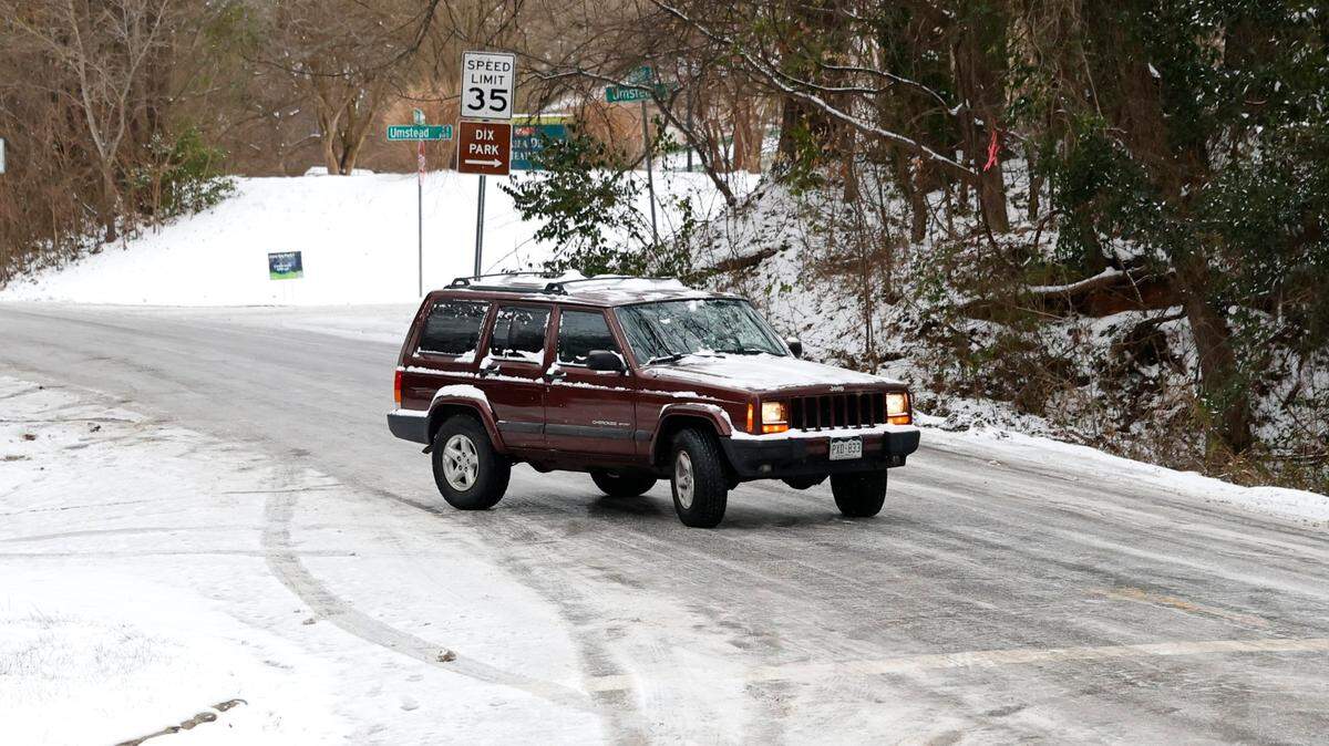
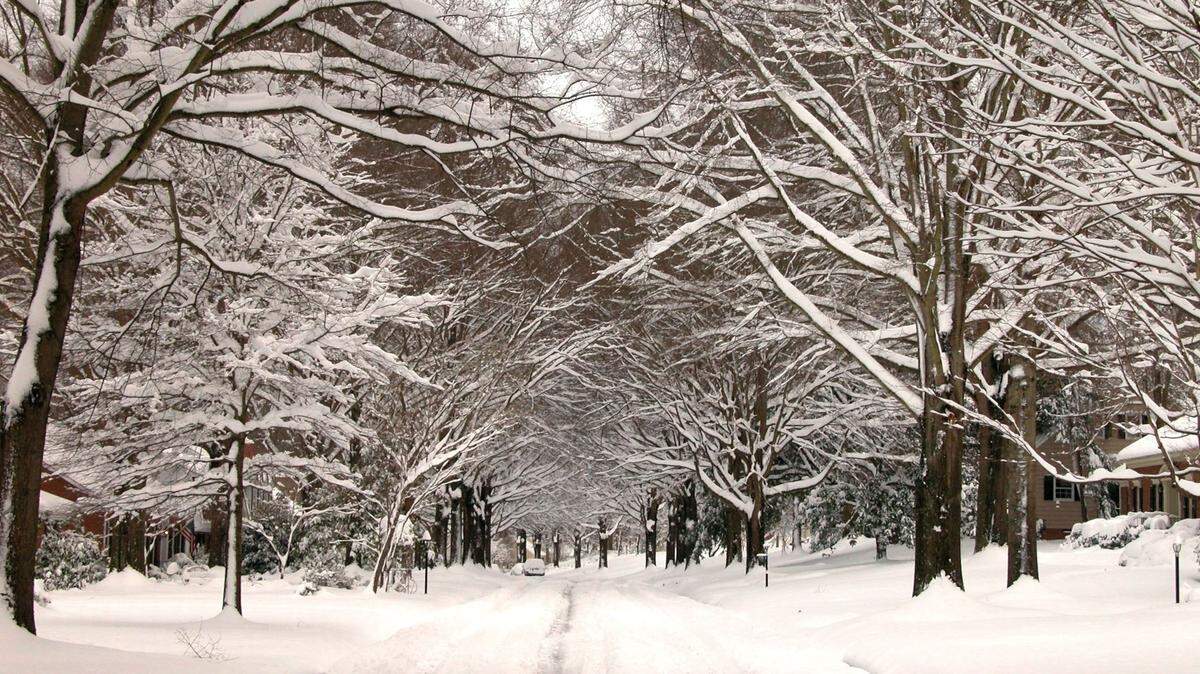
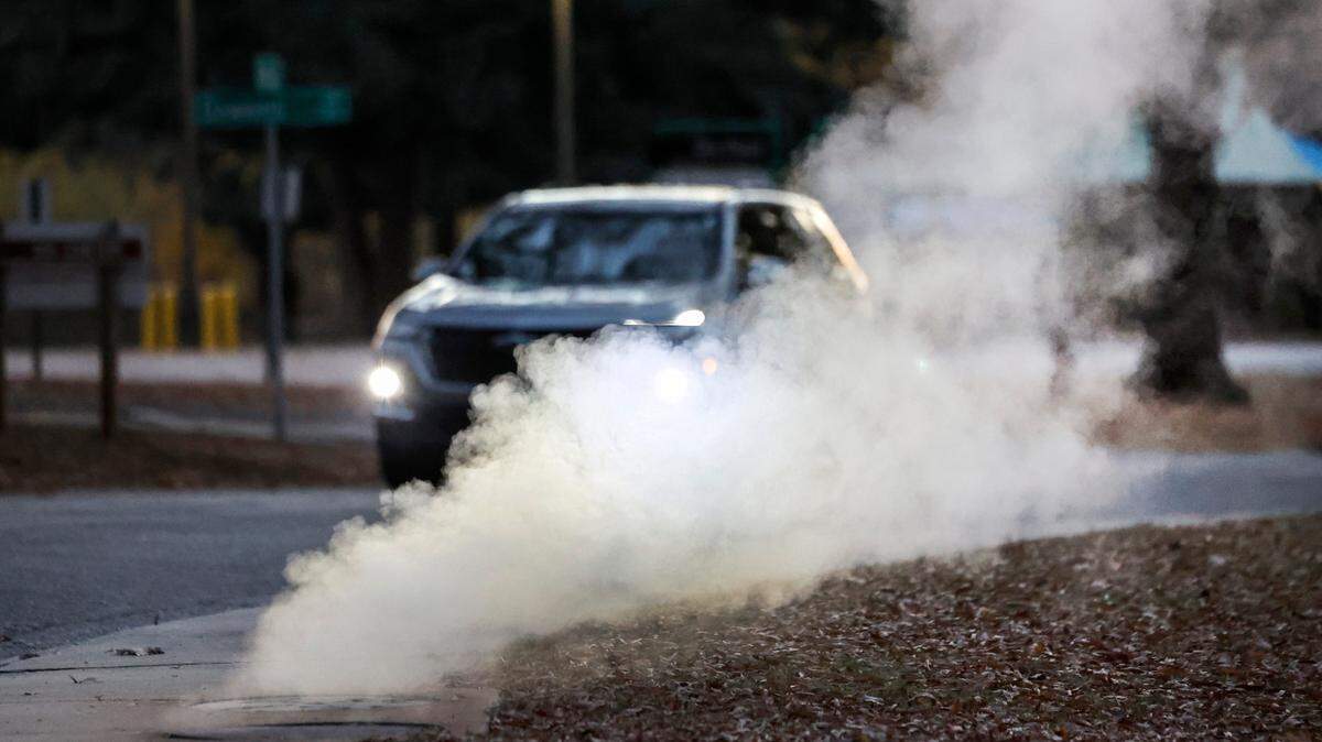
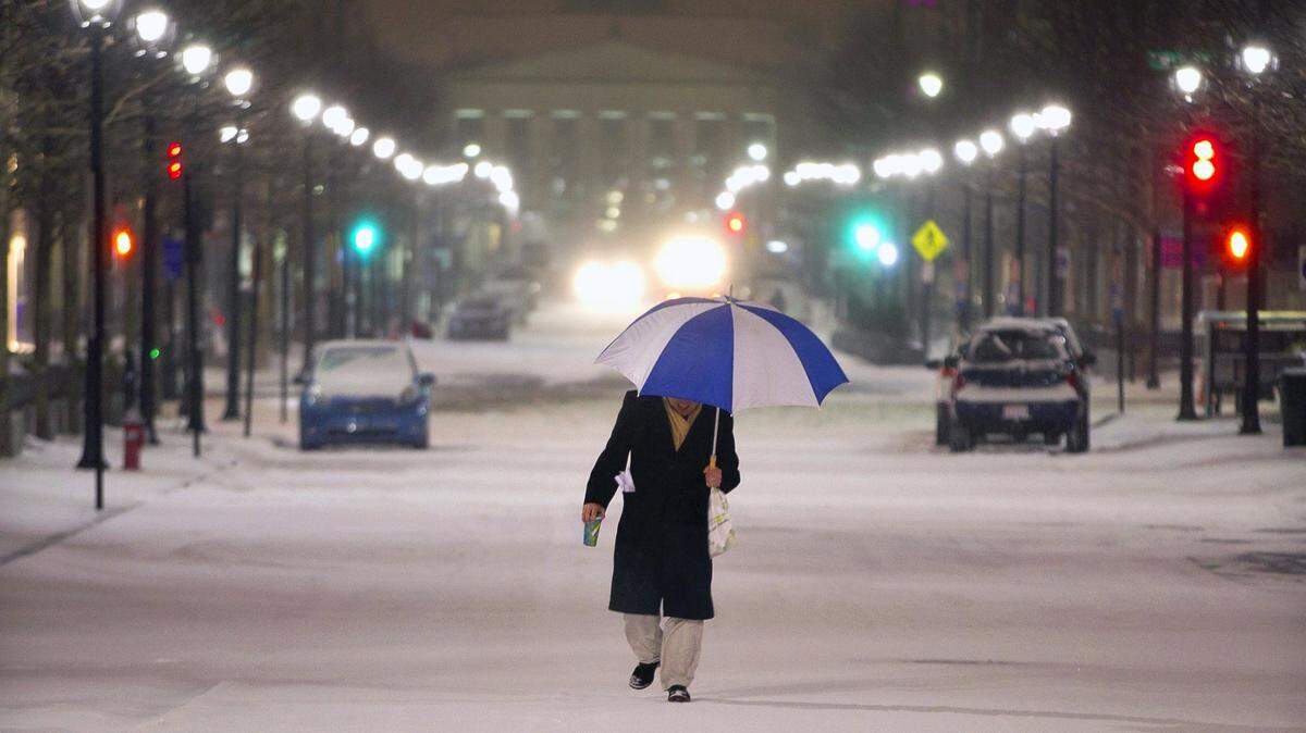
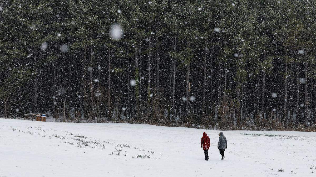
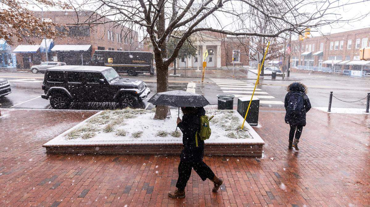
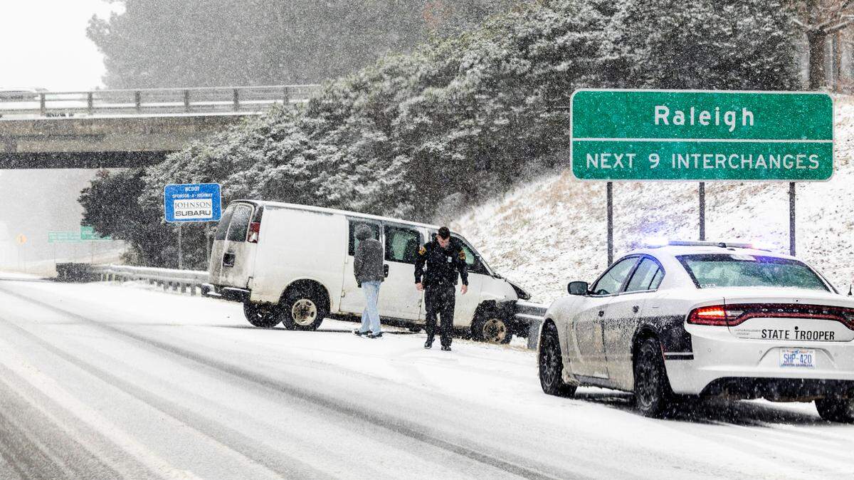
A much-anticipated winter storm arrived in North Carolina Wednesday morning, Feb. 19, spreading rain, ice and snow and turning roads into skating rinks.
The first bands of light snow arrived in the morning, followed by heavier precipitation in the afternoon. By 2:30 p.m., U.S. 64 near Knightdale, east of Raleigh, was nearly covered in snow and a wreck had slowed traffic. The state Department of Transportation’s map of real-time traffic conditions showed nearly a dozen crashes across the Triangle.
The Orange County Sheriff’s Office said conditions were deteriorating quickly through the afternoon and it was dealing with a multi-car pileup on Interstate 85 near the exit for Interstate 40.
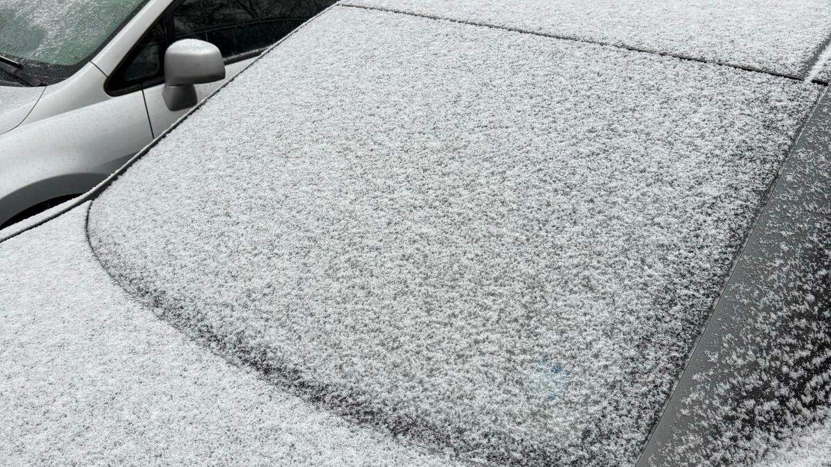
At 4 p.m., the Weather Service reported Durham and Chapel Hill had seen 2 inches of snow, and several cities had an inch or more: Roxboro, Wendell, Youngsville and Cary. Raleigh-Durham International Airport was showing 1 inch.
Snow is expected to end in Raleigh around 9 p.m.

Who gets what?
Generally, the National Weather Service says, the northern part of the state, along the Virginia border, will see the heaviest snowfall, with 3 to 6 inches possible along the northernmost section of the Interstate 95 corridor. The middle will get the heaviest ice, with up to a quarter-inch possible in areas mostly south and east of Raleigh. Southeastern N.C. will get mostly rain.
But the forecast maps show a lot of overlap, with much of central and Eastern North Carolina getting a mix of snow, sleet or freezing rain at different times before precipitation ends Thursday morning.
Forecasters say the storm will bring windy conditions and several days of way-below-average temperatures.

How much snow and ice will Raleigh, Durham and Chapel Hill get?
The Weather Service says there’s a chance of snow and freezing rain in Raleigh before 11 a.m., then sleet possibly mixed with snow.

Wednesday night, Raleigh is likely to see sleet, possibly mixed with snow and freezing rain before 10 p.m., then sleet possibly mixed with snow until 1 a.m. Thursday.
Thursday, there is still a chance of snow showers until 1 p.m. before skies begin to clear.
▪ Up to 2.5 inches of total accumulation throughout the storm is possible in Raleigh, forecasters say.
▪ In Durham, forecasters say, the mix is likely to have more snow than Raleigh and total accumulation could be a half-inch more, for a total of up to 3 inches.
▪ Chapel Hill is likely to get more of a snow-sleet mixture, with less freezing rain than Raleigh, with a total accumulation of around 2 inches, forecasters say.
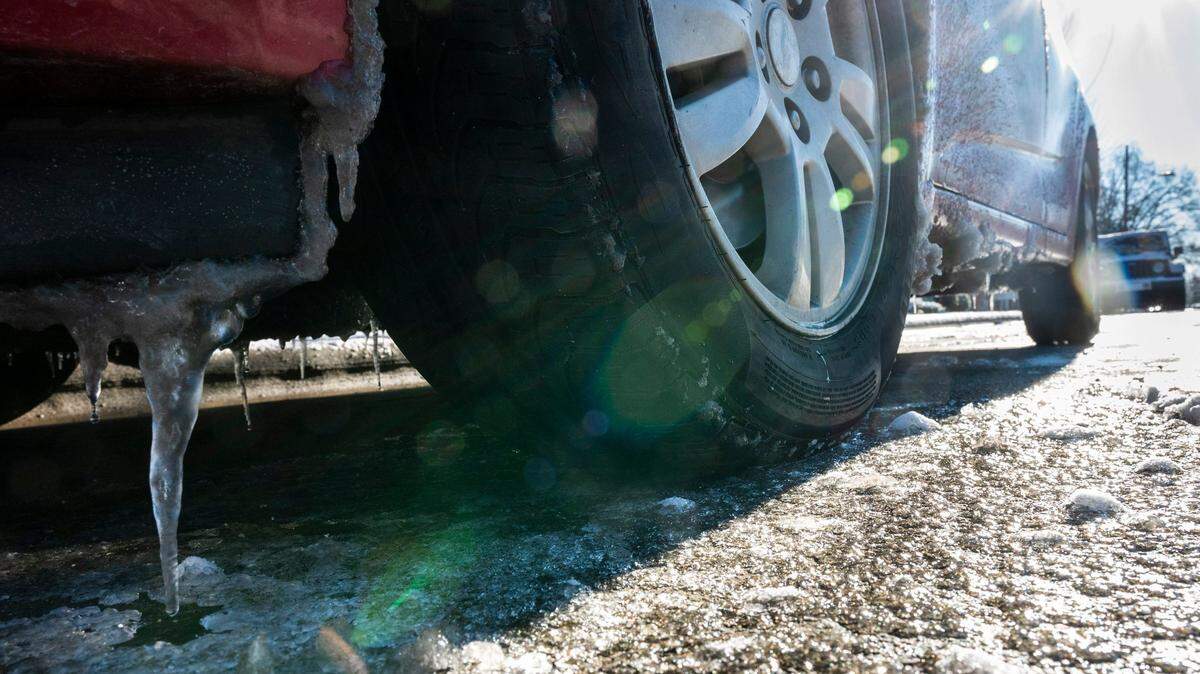
Travel isn’t advised
State Department of Transportation crews began spraying a brine solution on major roads on Monday and have continued the work as the storm nears to keep ice from sticking to the pavement. Plows are ready to send out after the storm.
Still, the department asked people to avoid unnecessary travel on Wednesday.
Slick conditions are possible on Thursday on bridges and any untreated surfaces, and black ice is possible Friday morning and Friday night if there is thawing and re-freezing.

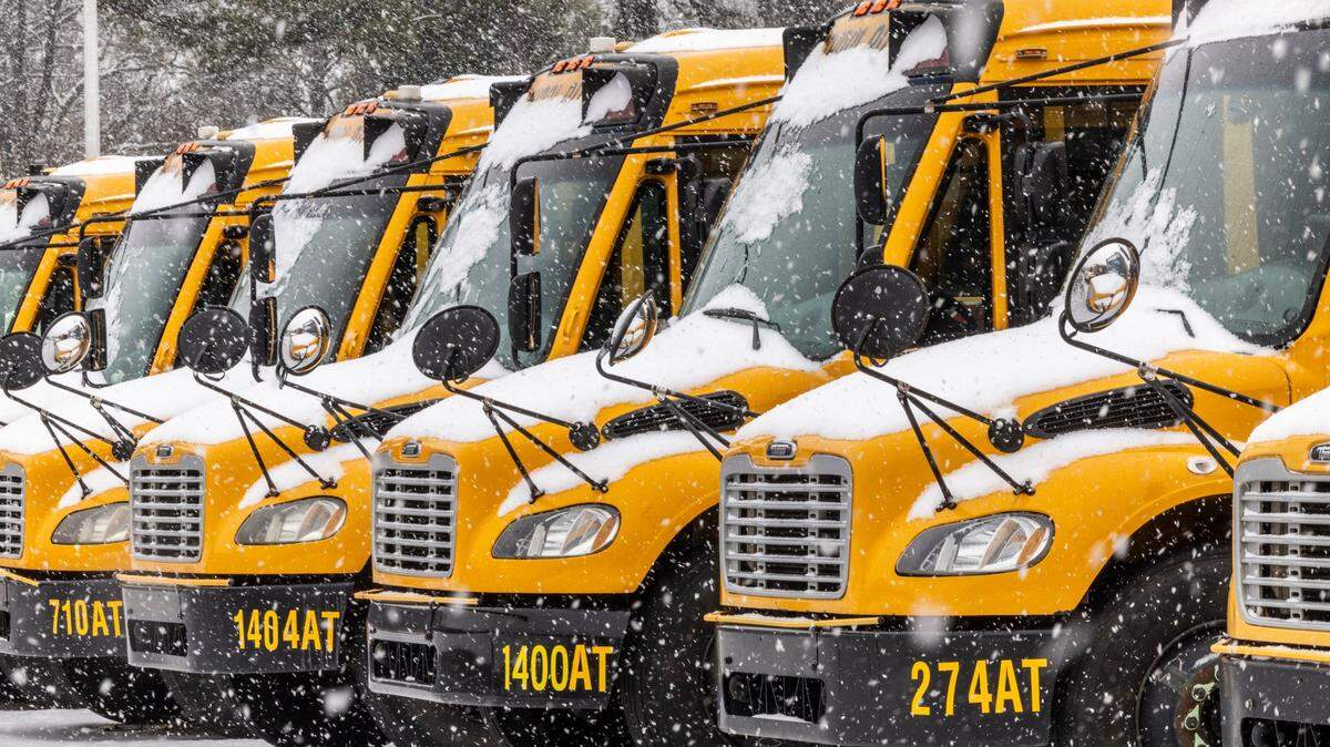
Schools, universities and businesses closed
Across the Triangle and beyond, schools and universities closed or delayed start times, and some businesses curtailed their hours in anticipation of difficult travel.

Where are power outages most likely?
The heaviest ice is expected in the Sandhills and the northern Coastal Plain; Southern Pines, Lillington, Fayetteville, Wilson, Clinton and Smithfeld could see a tenth of an inch or more of ice. Goldsboro could see almost a quarter-inch of ice, forecasters say.
Supplies could include flashlights and batteries in case accumulated ice causes electrical lines to fall or tree limbs to drop, snagging the lines and causing power outages.
Duke Energy said Tuesday it had moved repair crews from other areas into places where problems are expected.
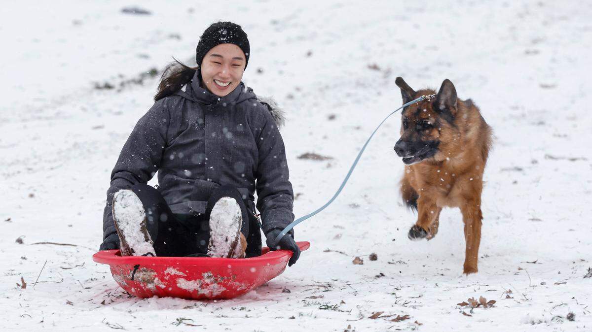
If you go out, a toboggan might be handy
But which kind — the one you ride or the one you wear on your head?
Both. Snow and ice can make for memorable sledding, or tobogganing, if that’s how you roll.
You’ll also need the knit hat Southerners use to keep our ears warm, or something equally insulating.
Temperatures will be harsh Wednesday and Thursday, with highs in the 30s in the Triangle and wind chills in the single digits or teens.
White Flag shelters have been activated to provide warm, safe spaces for those experiencing homelessness.

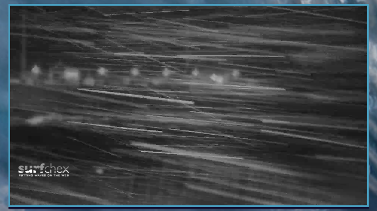
Along the coast: gale-force winds and high seas
The Weather Service issued a gale warning Tuesday night ahead of the storm’s arrival, from south of Ocracoke Inlet to north of Surf City from 7 a.m. Wednesday to 7 a.m. Thursday.
Sustained winds of 23 to 34 mph are expected along the shore, with gusts up to 46 mph.
Seas of 6 to 9 feet are expected.
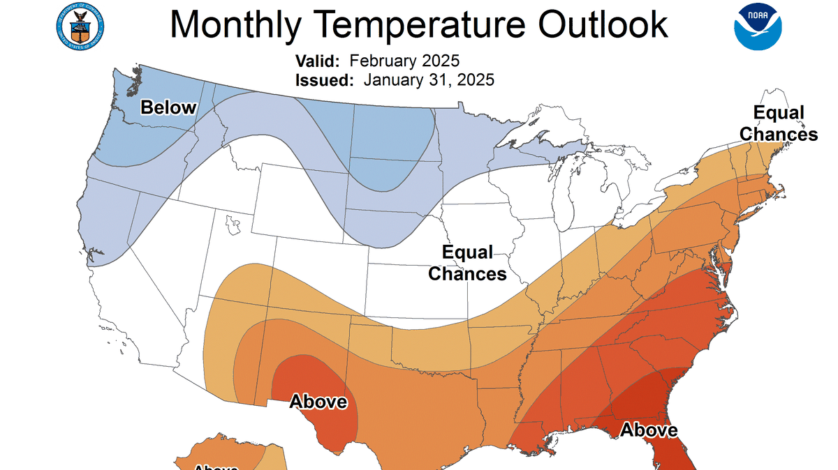
Next week: an early breath of spring
Temperatures should begin moderating on Sunday, with a high of 53 in Raleigh that day. Monday’s high is expected to be around 57 degrees and on Tuesday, it might warm up into the low 60s.
This story was originally published February 19, 2025 at 5:45 AM.


.JPG)