Helene battered NC in a once-in-a-lifetime weather event. How did this happen?
READ MORE
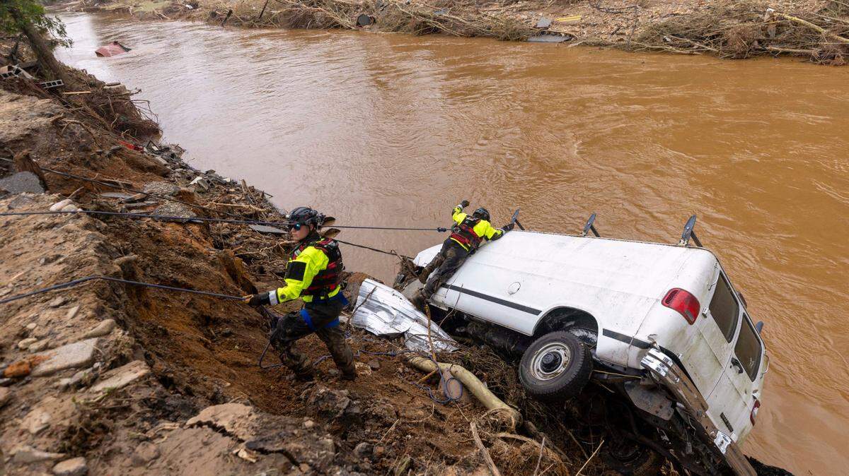
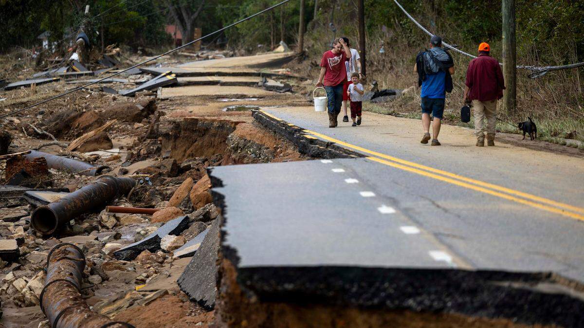
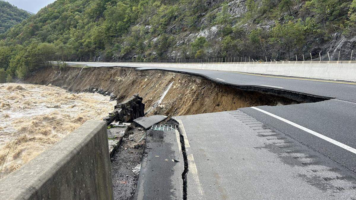
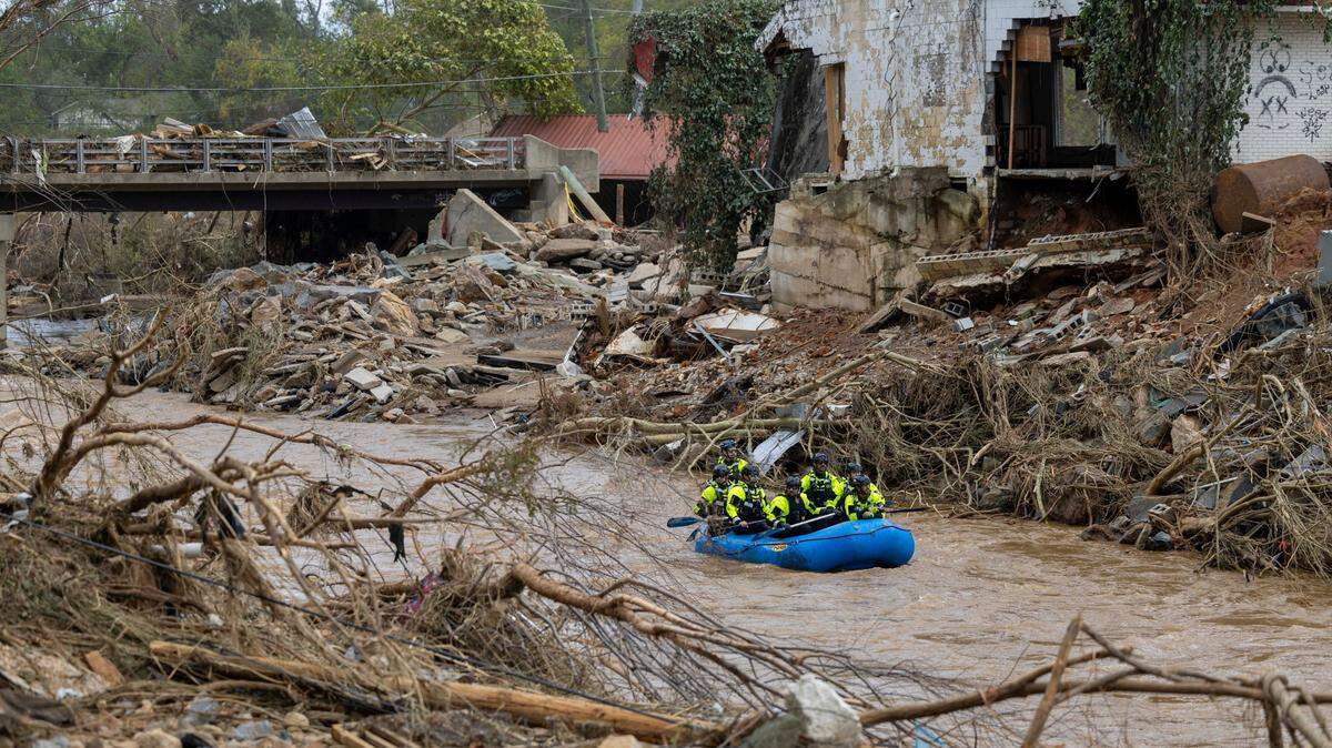
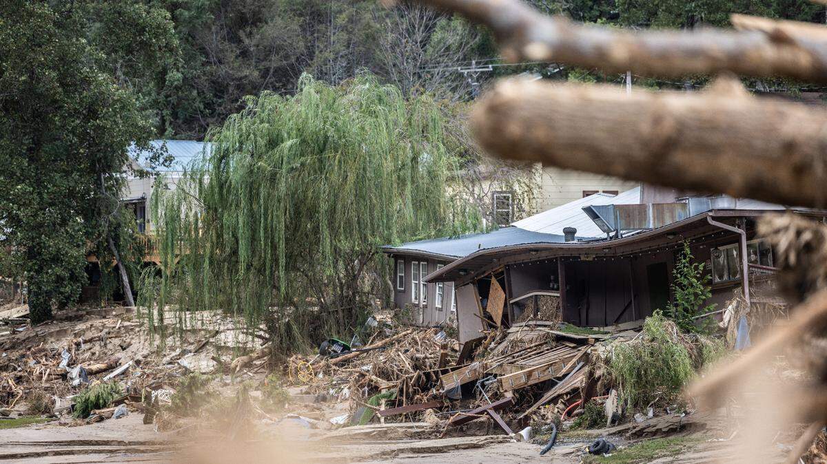
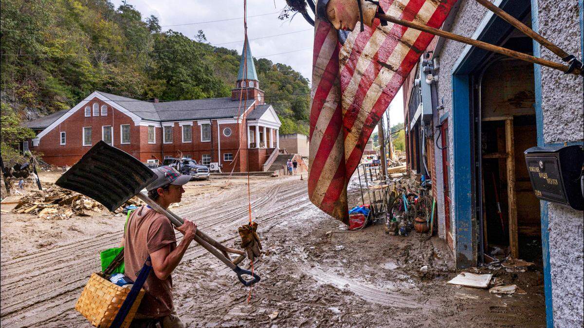
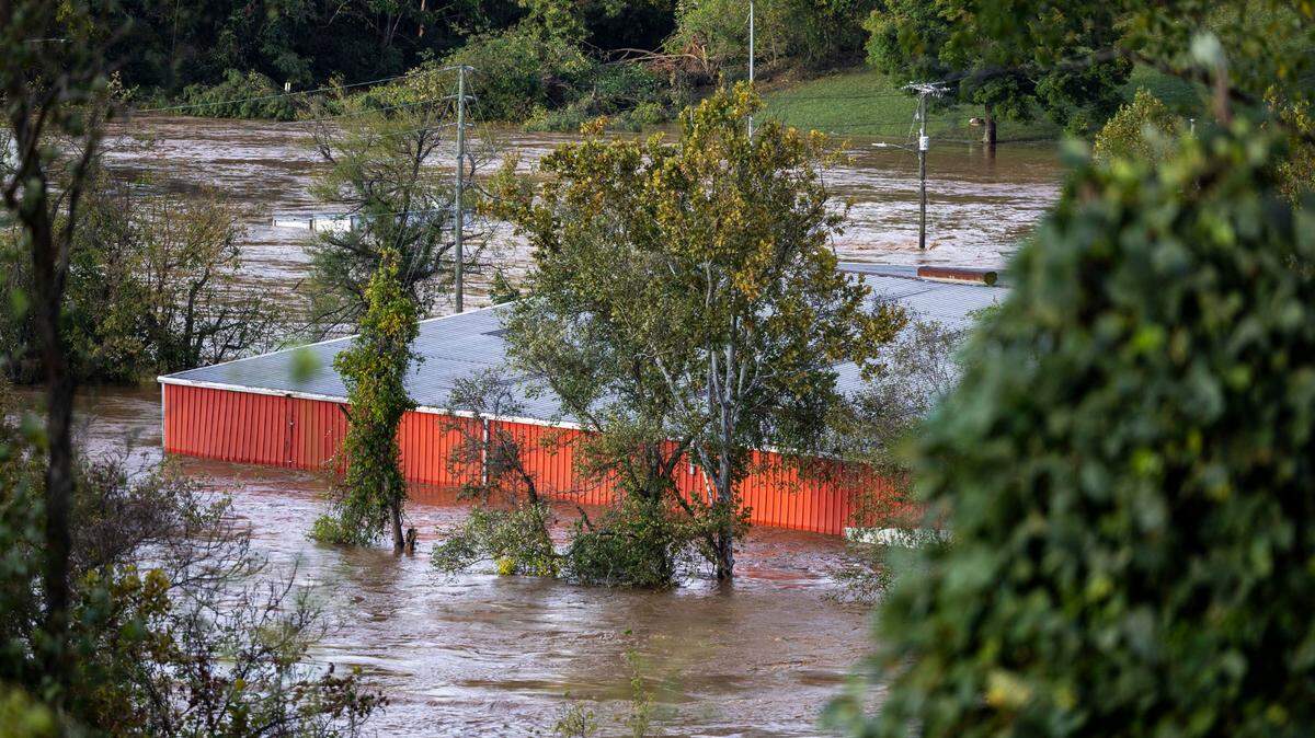
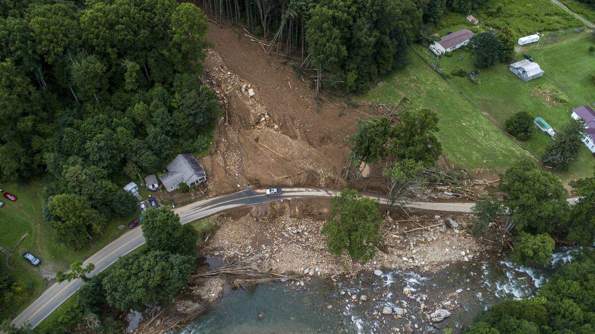
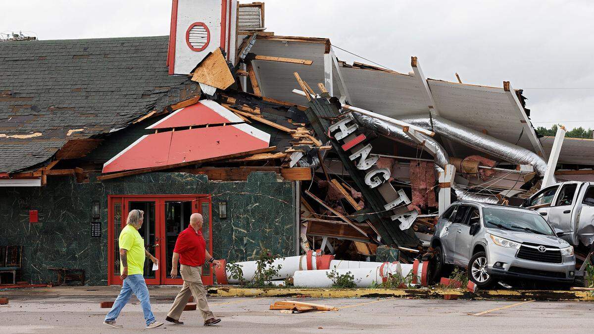
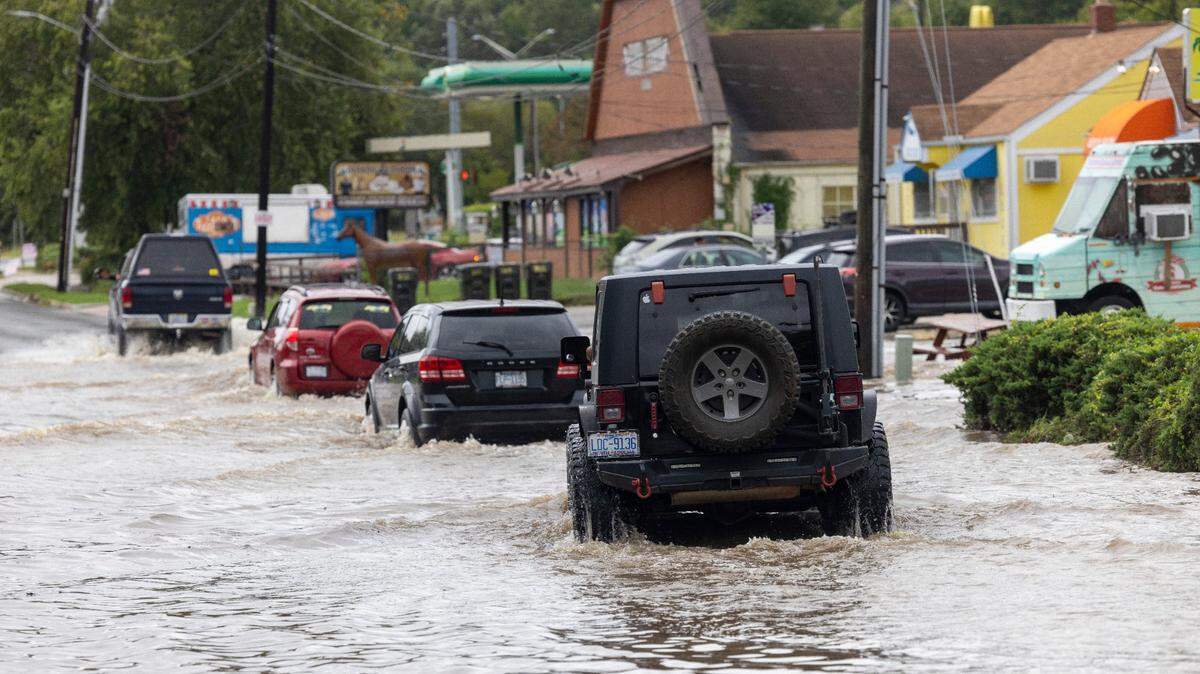
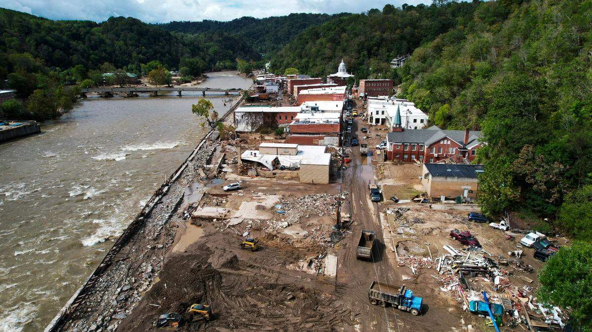
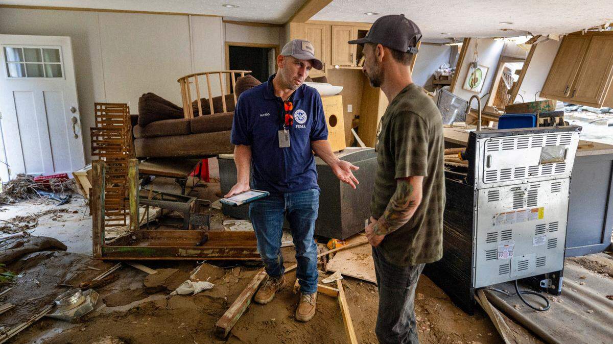
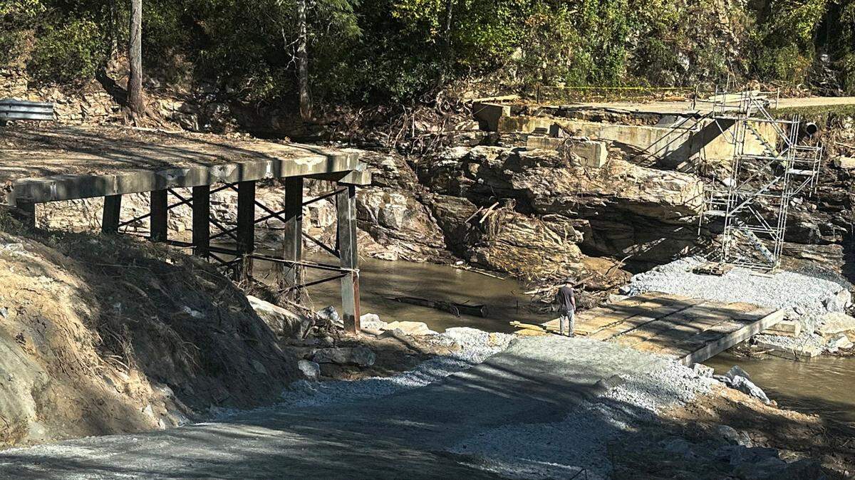
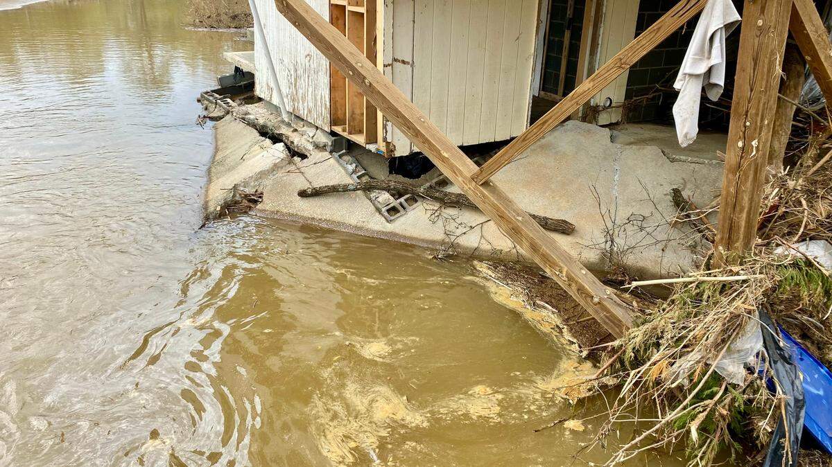
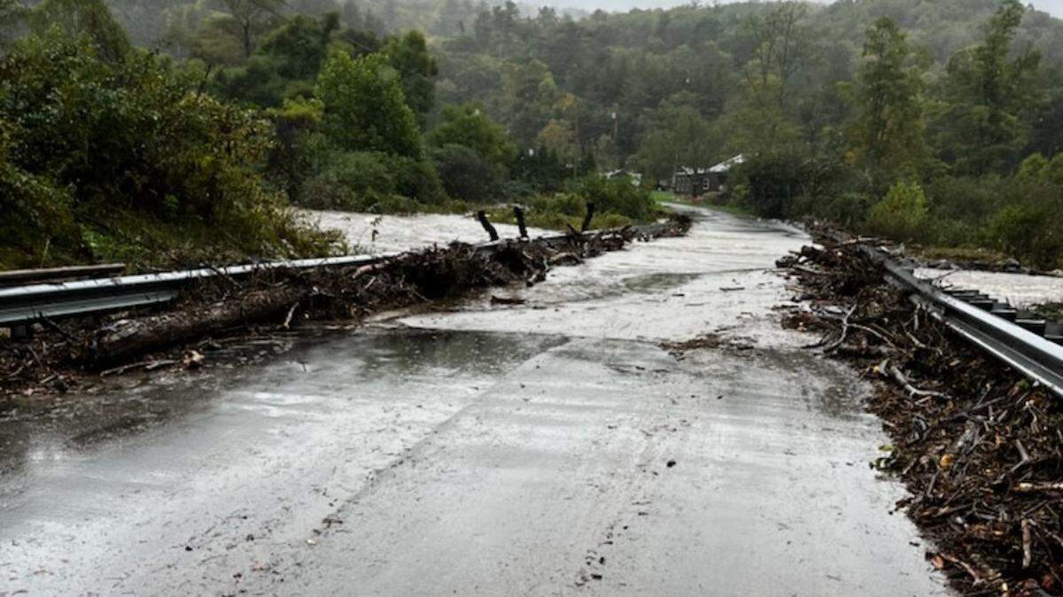
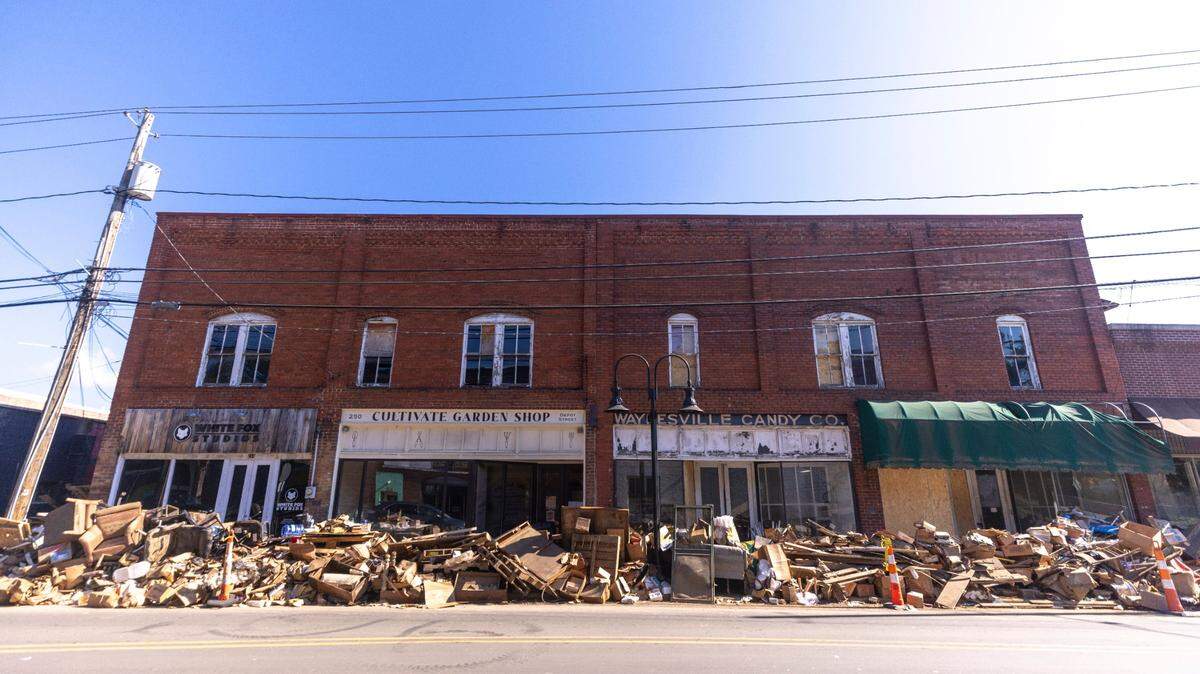
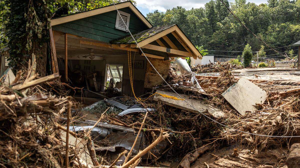
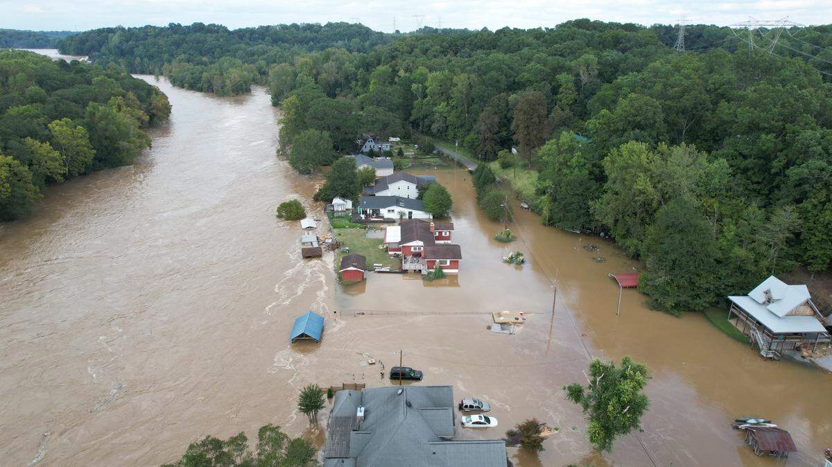
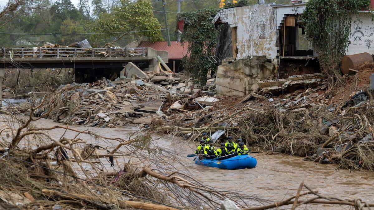
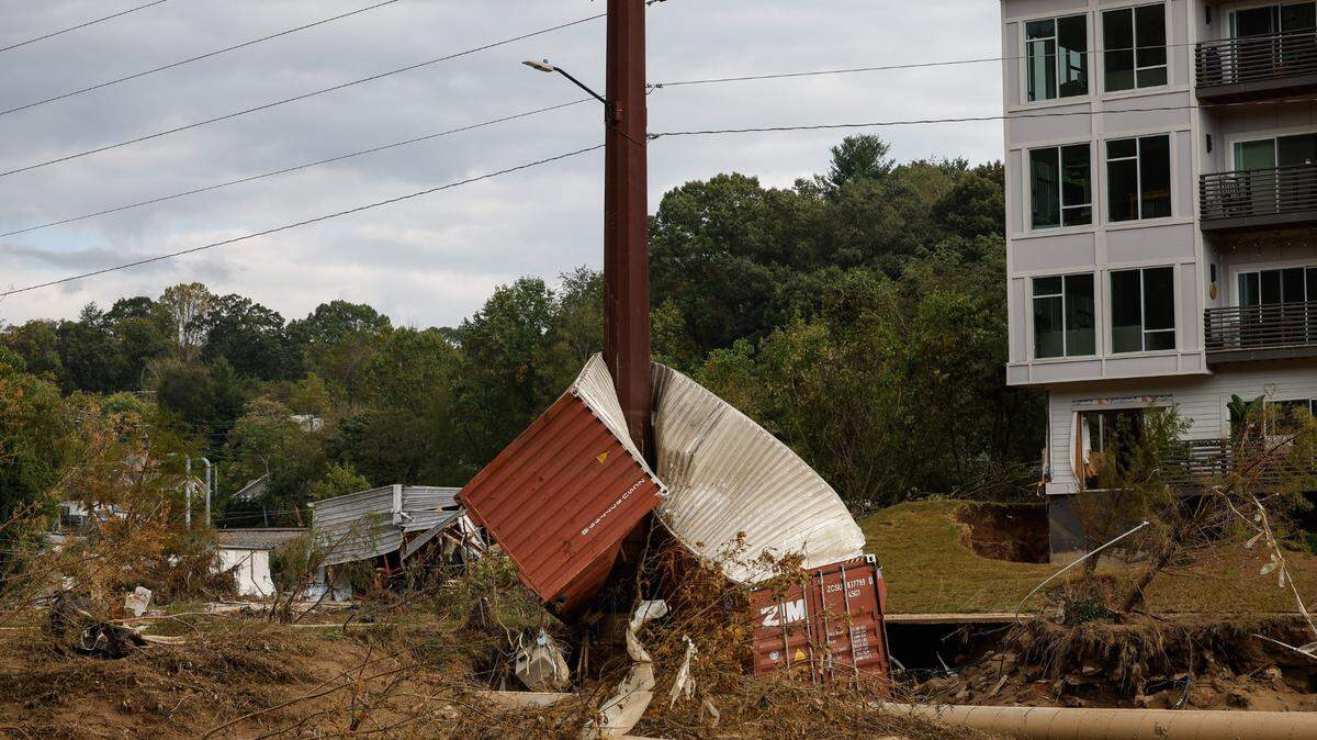
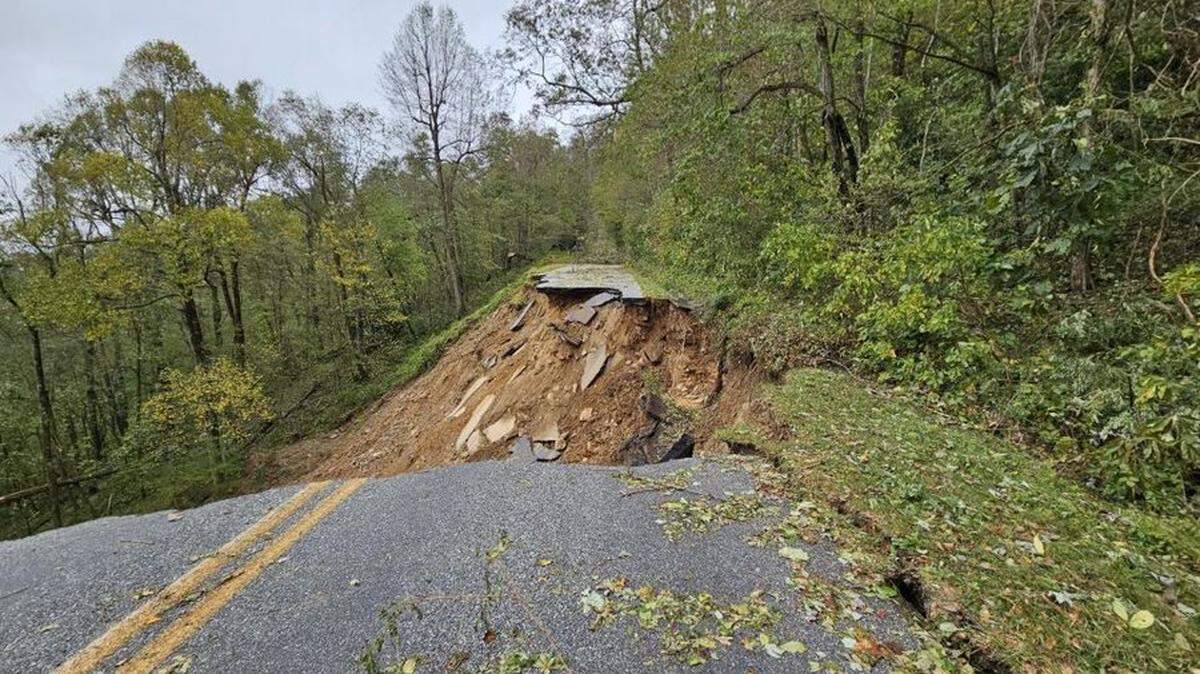
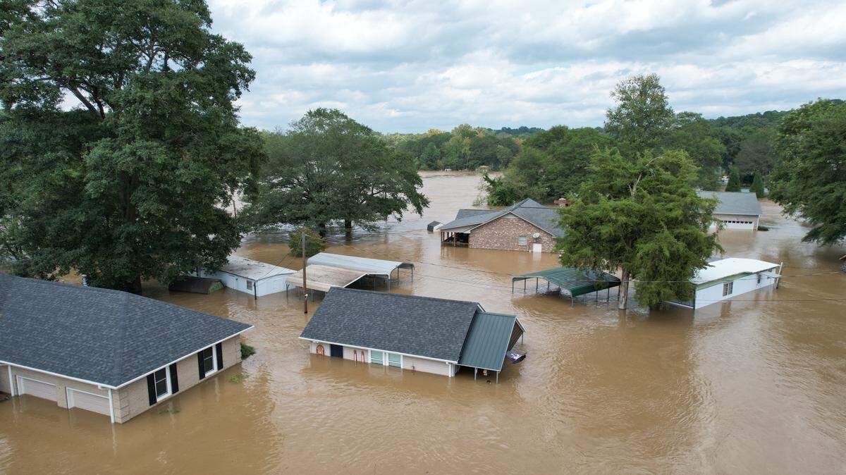
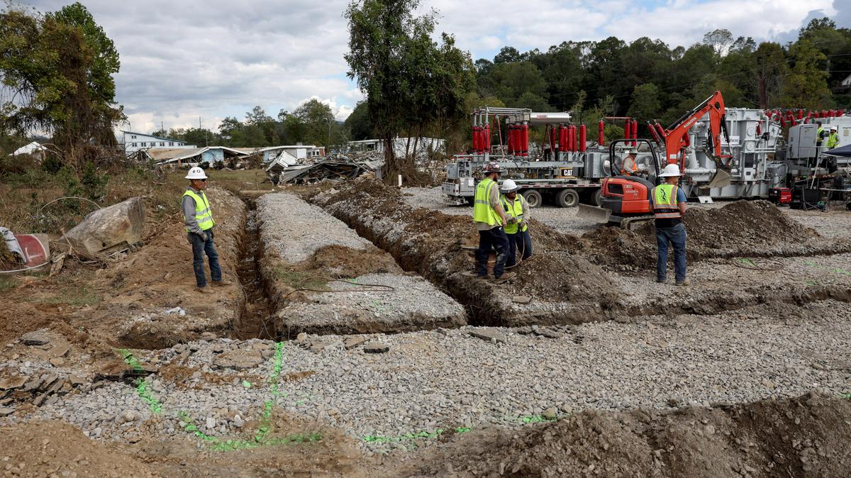
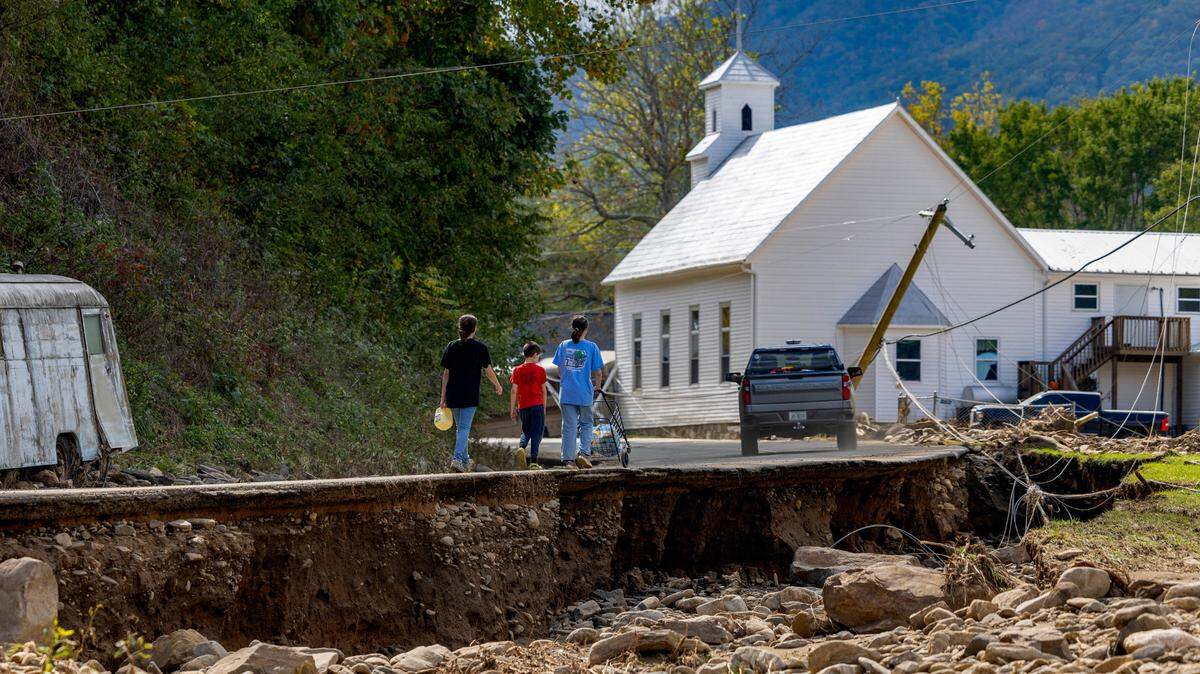
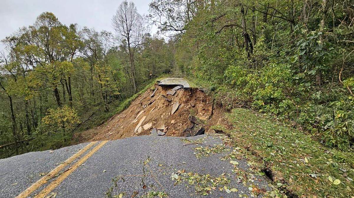
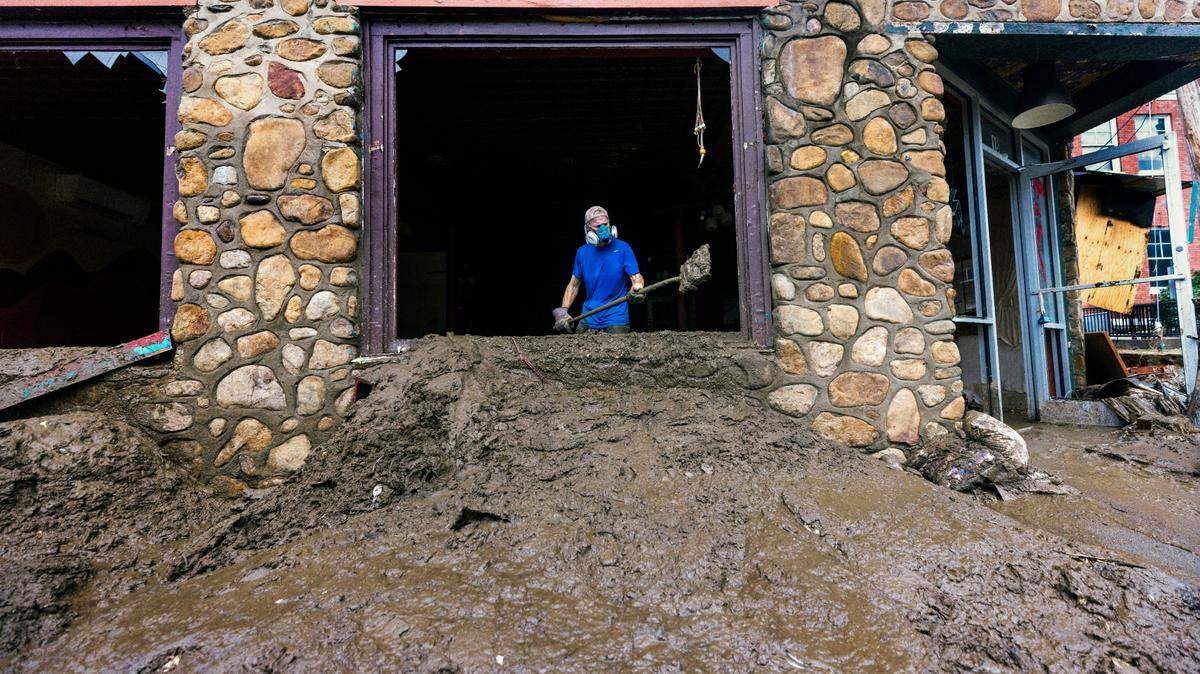
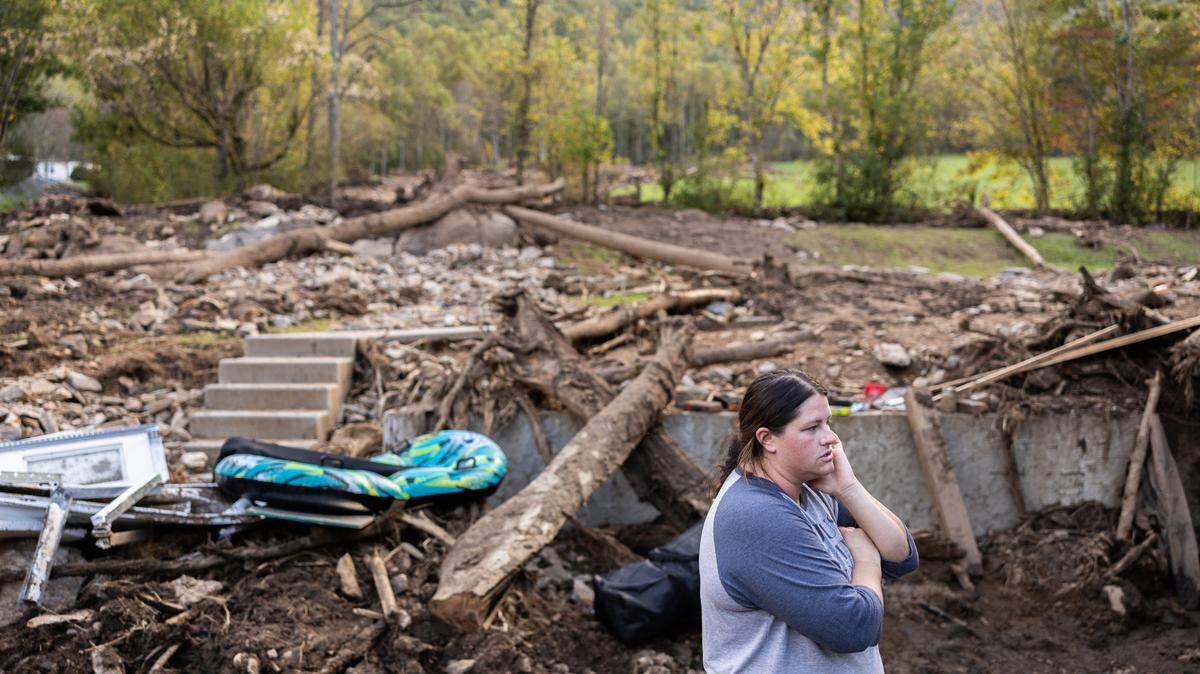
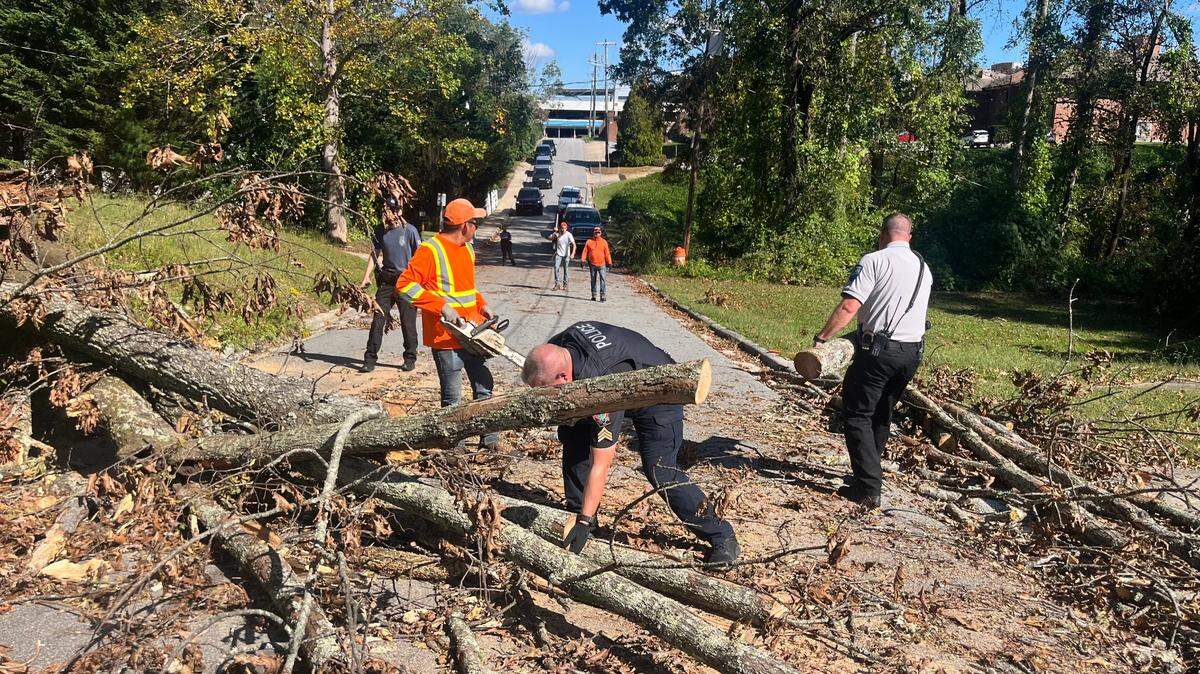
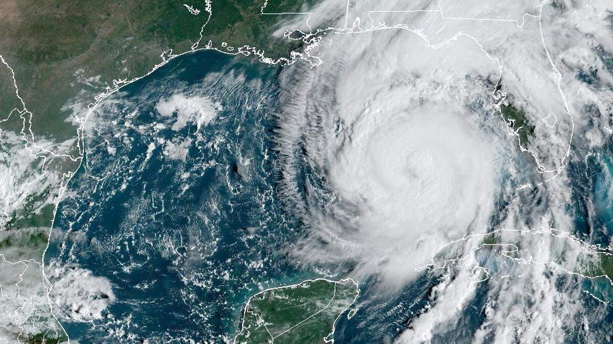
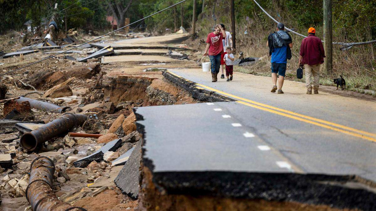
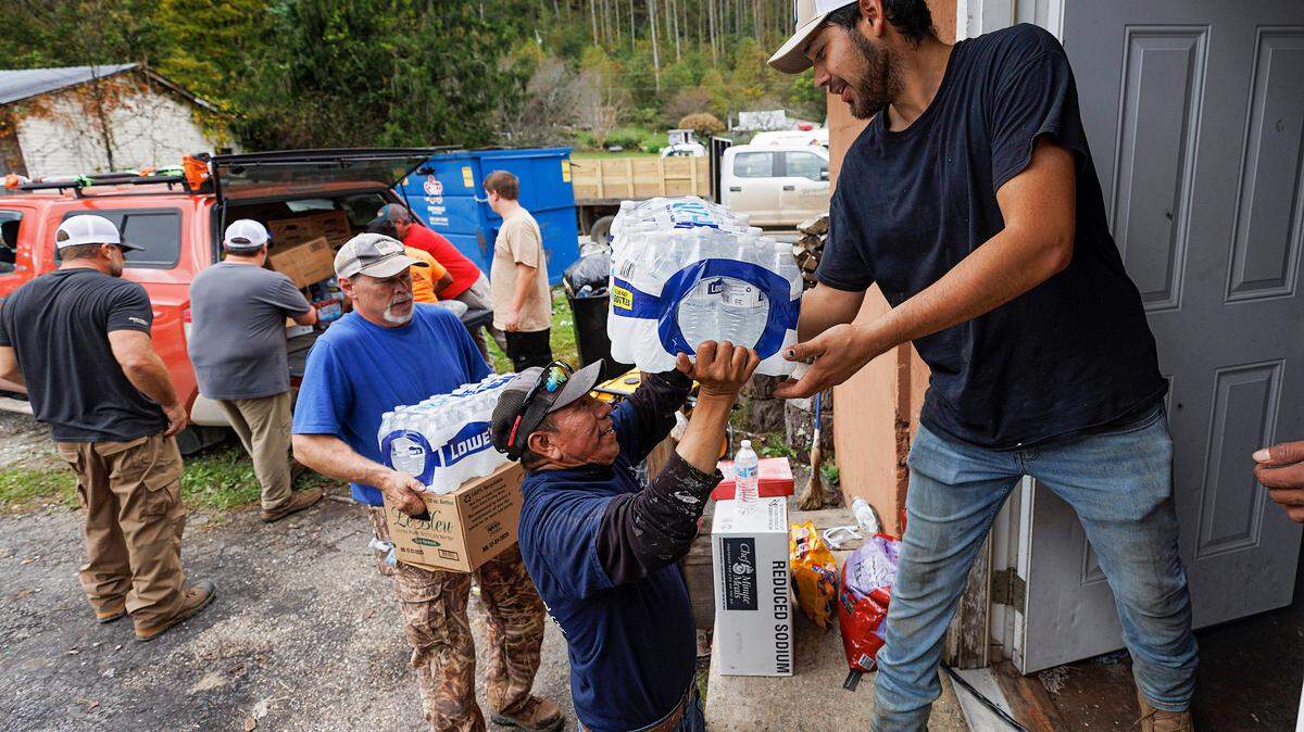
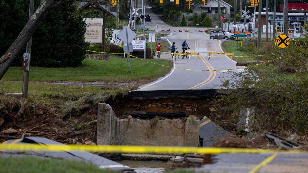
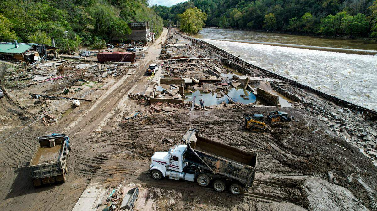
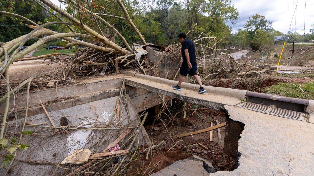
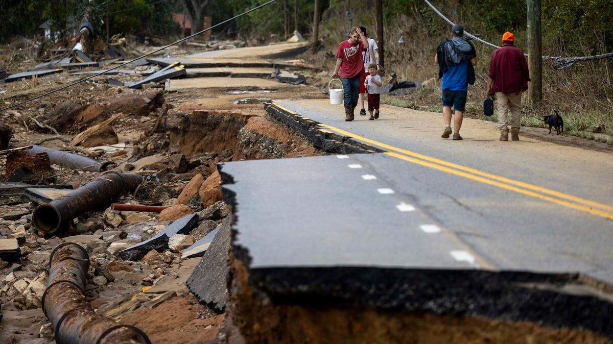
Hurricane Helene Aftermath
Hurricane Helene swept across the Southeast, causing major flooding and destruction throughout North Carolina. Here is ongoing coverage from The News & Observer and The Charlotte Observer about Hurricane Helene and the aftermath, particularly in Western North Carolina.
Expand All
How did this happen?
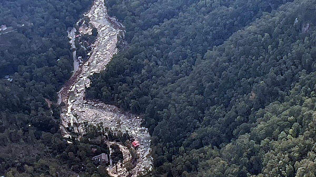
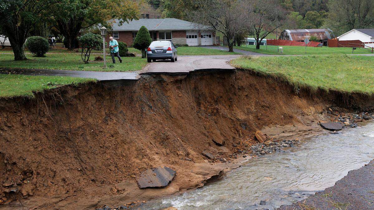
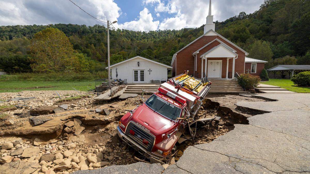
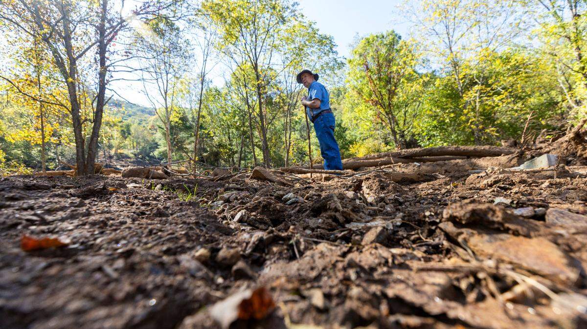
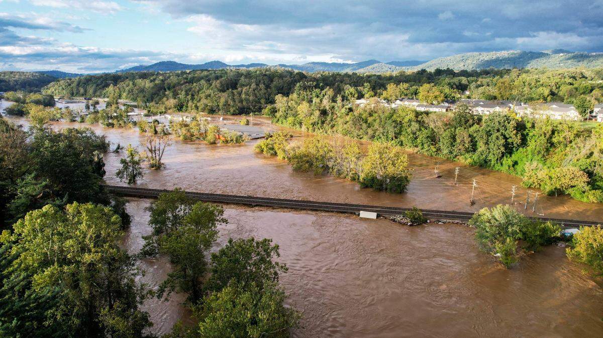
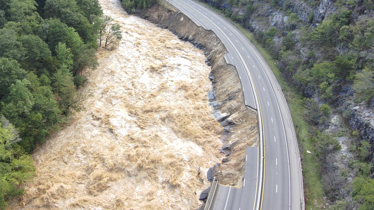
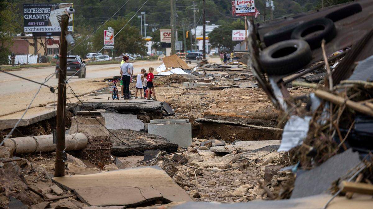
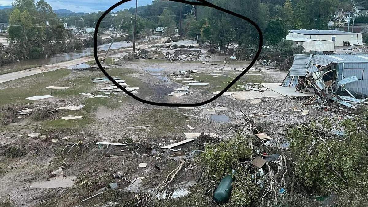
That’s one of the key questions on many people’s minds as the recovery from Tropical Storm Helene continues in Western North Carolina, with more than 100 people confirmed dead and damage estimated to be in the tens of billions of dollars over a mountainous 25-county region.
The News & Observer asked four experts why this storm’s rainfall was so catastrophic. They pointed to a number of contributing factors, including abnormally high water temperatures as the storm chugged through the Gulf of Mexico to a stalled weather system that caused heavy rain in the 36 hours leading up to Helene’s arrival in Western North Carolina and likely played a role in the storm remaining so strong as it moved inland.
Here’s a look at the role each of those factors played.
Warm ocean and gulf waters
Experts have been eyeing warm waters in the North Atlantic and Gulf of Mexico warily for months.
Warm water means more water vapor, Gary Lackmann, the head of N.C. State University’s Marine, Earth and Atmospheric Sciences department, told The News & Observer.
And water vapor is one of the key ingredients in severe weather.
“Water vapor is weather fuel. It’s like you have this huge reservoir of anomalously large weather fuel and then you basically just need some mechanism to ignite that fuel,” Lackmann said.
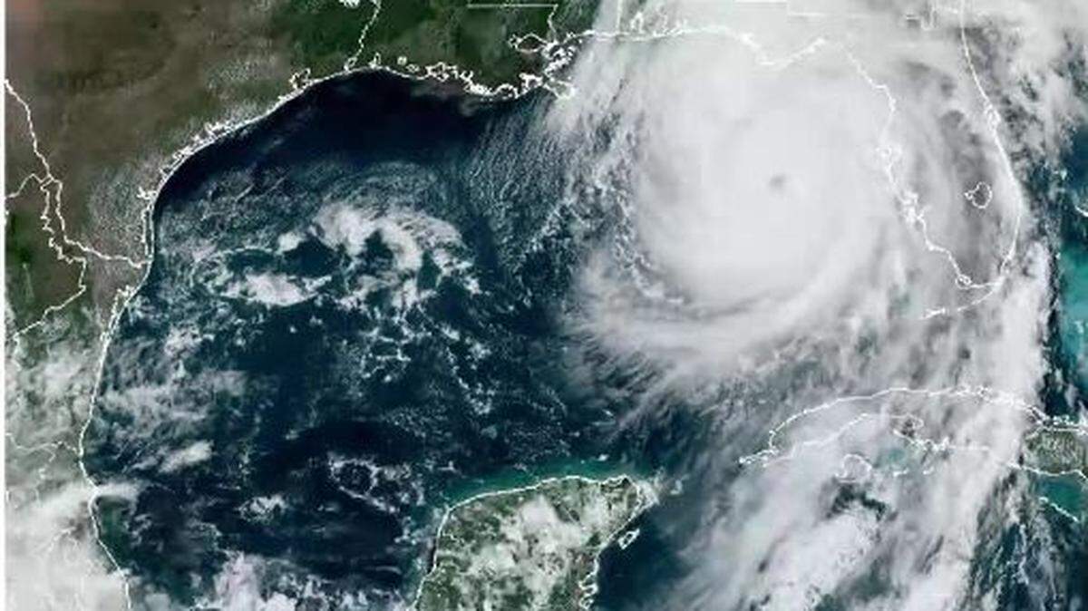
As Helene made its way through the Gulf of Mexico Sept. 25 and 26, it passed over abnormally warm water.
Climate change, it’s worth noting, has a major impact on ocean temperatures around the world. About 90% of global warming takes place in oceans, according to NASA.
On Sept. 25, the Gulf of Mexico’s sea surface temperature averaged 84.2 degrees between 1991 and 2020. This year, Helene encountered waters averaging nearly 86.7 degrees.
“Not only is the sea surface temperature along its path a toasty 30-31 C, the warm water runs deep, producing extremely high ocean heat content ... an endless source of fuel,” Ben McNoldy, a University of Miami hurricane expert, wrote in a blog post as Helene started to take shape.
Helene rapidly intensified in the hours before making landfall, starting as a Category 1 storm on Sept. 26 before strengthening into a Category 4 storm with 140 mph winds and making landfall late in the day.

Rain before the storm
As Helene was working its way northward, Western North Carolina was already experiencing heavy rainfall.
A low-pressure system before the storm stalled over the Tennessee Valley, effectively creating an atmospheric wall with severe weather on its eastern side.
Low pressure systems create strong southerly winds on their eastern edges, said Justin Lane, a meteorologist at the National Weather Service’s office in Greer, S.C., which covers Western North Carolina. Low pressure systems also lift air into the atmosphere, where water vapor is more likely to condense and become rainfall.
Those strong winds picked up vapor-laden air that was already in the Gulf of Mexico and carried it into Western North Carolina, where strong rains started falling about 36 hours before Helene made landfall near Perry, Florida, around 11:30 p.m. Sept. 26.
“Even without Helene, there would have been a significant rainfall and flooding event just due to the other weather system and setup and this really vapor-rich air,” Lackmann said.
At Asheville Regional Airport, for instance, 9.85 inches of rain fell on Sept. 25 and 26.
“We were just streaming that moisture over the area, basically over the same area, continuously for a day and a half or so. You can envision it being a firehose of moisture that doesn’t really move,” Lane said.
That’s the second time in September that meteorologists called a severe rain event a “firehose.” The same label was applied to the Sept. 15-16 rainfall that caused significant flooding in Carolina Beach and across Brunswick County.

Geography
The Blue Ridge Mountains played a key role.
As winds out of the east or southeast run into the mountains, air is pushed upward. And as air goes upward, more of the water vapor within it comes out in the form of rainfall or, in winter, snow.
In the case of Helene, that played a significant factor, said Chip Konrad, the director of NOAA’s Southeast Regional Climate Center.
“There was more water vapor available to come in and then basically just being wrung out of the atmosphere at a very rapid rate as it’s being forced up against the Blue Ridge escarpment,” Konrad said in an interview.
Lane, the NWS researcher, agreed, saying the low pressure system and geography worked together to bring more rainfall.
“Because of the extra lift provided by those southeast winds flowing up the mountain, we basically were maximizing the efficiency of the rainfall rates given the available moisture,” Lane said. “We got the most out of the moisture that was available.”
Speed of the storm
The jet stream also played a role when Helene came into the picture, Lane said, helping the storm move swiftly northward through Florida, Georgia and South Carolina into Western North Carolina.
At one point after making landfall, Lane said, Helene was moving 40 to 45 mph through the Southeast. Normally, storms have time to lose energy over land. This one didn’t.
“It was moving so fast, it just didn’t have enough time to weaken significantly before moving into our area,” Lane said.
And then Helene came
The region’s strongest rainfall came as Helene was passing west of the region, Lane said.
The worst place to be when a hurricane is making landfall is the east side.
“By far the worst impacts are going to be in that area from just east of the center out to about 100 to 200 miles,” Lane said.
That’s exactly where Western North Carolina was.
At the Mountain Research Station in Waynesville, Helene brought 5 inches of rain the morning of Sept. 27.
The rain, which had been falling steadily from the predecessor event, picked up pace at about 2 a.m. Friday, with 0.4 inches of rain over the next hour. Then larger amounts started to fall.
By 6 a.m., there was 0.74 inches of rain falling in an hour. In the 9 a.m. hour, 0.87 inches of rain fell.
Friday brought nearly as much rain as the weather station saw fall in July and August combined. The 1.5 inches of rain that fell between 8 a.m. and 10 a.m. was more than the 1.21 inches the station recorded in August.
This story was produced with financial support from the Hartfield Foundation and Green South Foundation, in partnership with Journalism Funding Partners, as part of an independent journalism fellowship program. The N&O maintains full editorial control of the work. If you would like to help support local journalism, please consider signing up for a digital subscription, which you can do here.
This story was originally published October 2, 2024 at 3:21 PM.


.jpg)


.jpeg)


.JPG)


.JPG)